 "dieseldub" (dieseldub)
09/25/2020 at 14:35 • Filed to: None
 14
14
 9
9
 "dieseldub" (dieseldub)
09/25/2020 at 14:35 • Filed to: None |  14 14
|  9 9 |
I had been pondering how to tell this story for a couple weeks now. Another oppo member asked for a check-in on West Coast members affected by the wildfires, so I’m finally taking the time to speak about my experiences, not only with the current fire season but the patterns I’ve personally witnessed from some of the past horrific fires in the last 4 years.
I could go on and on about frustrations with ‘news’ sources and all the insane beliefs I’ve been encountering stemming from misinformation these days. I also could write another entire blog about how bizarre the weather patterns West of the Rockies are compared to where I grew up in the Mid West. Being the curious person I am, I’ve actually taken time to try and understand the hows and whys behind the strange patterns here. But I think I will keep it as brief as I can and tell what is absolutely pertinent to the weather patterns as it relates to wildfires here, and moreover just to tell the story of what’s been ACTUALLY happening in the last 5 weeks of fiery hell on the West Coast.
Mid summer this year, I had generally been waking up maybe a quarter after 5 most mornings. The morning of August 16th, I woke up right around that time, not from my alarm clock, but because of thunder. I immediately texted my weather nerd girlfriend of 8 years, she had just a few weeks prior moved to Oregon to try a new job at an accounting firm. We’ve been pondering a move to Oregon for some time for cost reasons plus I have family up there. She also just really loves many of the natural attractions of the state.
It would take a few days for fires caused by lightning on the 16th (and 17th) to really become noticeable. Without strong winds, fires don’t move super fast around here regardless of the fuel situation. I will at least say this much. Lightning storms in California, not very common. We might get them once every few years, and more often happen in the Sierra Nevada mountain range and even just East of them in the desert. Much more infrequent to have them happen in areas closer to the coast. We don’t get violent mixing of different air masses coming in at different directions like areas East of the Rockies do. The cold waters off the West coast also suppress moisture off our coast from mixing up very high into the atmosphere. Most of our rain comes in winter and spring. It is not unusual to not see a drop of rain from May through October. Sometimes more like April through end of November for things to really become consistent and heavy with rain.
This means things dry out real bad in the summer months. I used to get tired of Mid West winters where the cold and snow just simply lasted too long. It’s fun for awhile, but after 2-3 weeks, I’m usually of the opinion of “just bring the warmth back, this sucks.” So, it’s a little strange living in a place where you actually look forward to winter because it actually brings rain and makes things green again. California might be called the “Golden State” because of the gold rush, but the grasses here do turn a shade of gold in the summer months. It’s kind of pretty in its own way, but it’s still a little unsettling when your brain is telling you things are supposed to be GREEN in the summer months.... and there should be rain. Because that’s what I grew up with.
Anyway, back to the fires. The fires expanded slowly at first from the lightning storms on the 16th, but there was a day or two around the 19th where winds picked up and blew a fire that had started near Lake Berryessa towards population centers on I-80, raging through the hills between Vacaville and Fairfield, burning land that had already burned with fires in recent years, flying in the face of people who tell us our entire problem is fuels management. Fuels here already burned... then regrew and have now burned again.
Following a week of poor air quality, I was ready to get out of it. The girlfriend was also antsy to see me after being in Oregon for over a month by this point, so I decided with the short weekend, we could meet at sort of the mid way point between us in Crescent City, CA, which is the far Northwest corner on the coast of the state. Air quality up there was great, thankfully.
On my way back, I witnessed more lightning as I was turning onto highway 37 to head towards home in the North Bay, driving by Sonoma Raceway in the process (at the intersection of hwy 121 and 37—37 used to be called “Sears Point Road”). In fact, most days I drive by Sonoma Raceway on 37 on my way to my shop in Marin County.
Fires continued to expand in California, air quality remained poor. For the long labor day weekend a couple weeks later, even Crescent City now had poor air quality. My girlfriend had long spoke of going to a couple Thunderegg mines in central Oregon, one of which was threatening to close their public digs. So, we decided to meet up in Redmond, OR, which is where my sister lives, and explore the area, hit up a couple of the mines the crazy rockhound really wanted to go to while we still had the chance, and then eventually make our way back to the coast where she would go back to work on Tuesday.
I had work that kept me from leaving the Bay Area until early afternoon Friday and I made the trip up to Redmond, arriving at midnight. Saturday (Sept. 5), we had breakfast at the house, caught up with my sister and her boyfriend, and on their recommendation decided to check out some of the alpine lakes Southwest of Bend.
Cascade Lakes National Scenic byway took us past Mt. Bachelor and by several alpine lakes, all of which were crazy busy with the last long weekend of the summer. After poking around on Google maps, we decided to see if we could find a little less visited lakes on more difficult roads. Found one that took us by Little Cultus Lake and eventually made our way back to Irish Lake and Taylor Lake in the Touareg. There were some tough sections of road with large undulations, rocks and steep climbs. I even decided it would be easier to put the Touareg’s air suspension up one level and put the transfer case in low as the road got more difficult. Got a little wheel slippage up a couple of these sections, computer quickly figures out what to do, gains traction and away we go with minimal drama.
Of course, just as I start to feel kinda good about how easy the Touareg was making it, I see some ‘90s Subaru Legacy wagon parked on the side of the road... OK, clearly this road isn’t difficult enough! lol
Anyway, we make our way back through Bend and head back to Redmond, as we’re on that section of 97 between Bend and Redmond, we notice a massive plume of smoke to the Northwest. I tell my sister about it and she shrugs it off: “Yeah, that’s been burning awhile.” I didn’t learn until earlier this week it was caused by a dry lightning strike the same day that California’s fires started by lightning (August 16th). The fire was near the Warm Springs Reservation close to Mt. Jefferson.
The next day (Sunday the 6th), air quality was getting worse. I thought it was due to the fire near Mt. Jefferson, but when I finally looked at a weather map showing wind direction and wildfire locations, it actually turned out the wind was coming straight from the North and the smoke was mostly from a massive wildfire in Washington.
We went to the Lucky Strike mine in the Ochoco mountains to the East of Redmond, driving through Prineville in the process where apparently Facebook and Google have massive server operations now. Some more narrow, windy, rocky forest service roads later and we arrive. Increased ride height and low gear not necessary today. I got a little overdetermined to extract the biggest chunks of chalcedony botryoidal I saw sticking out of the wall we were digging at... took a few hours, but I think the determination paid off:
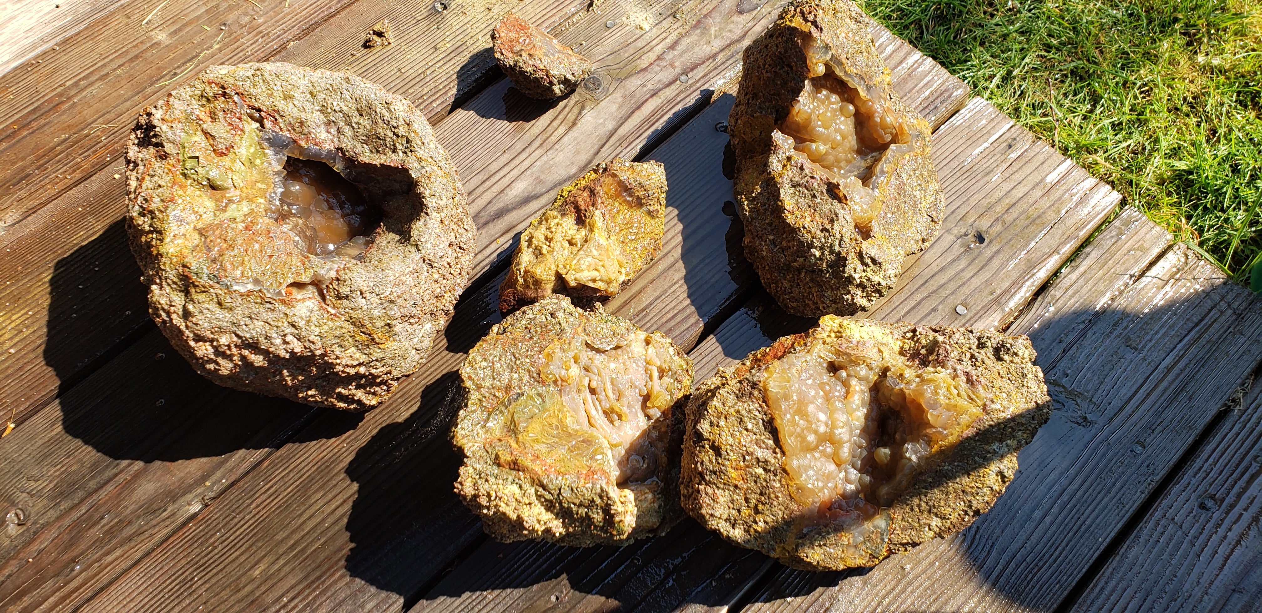
Probably not the prettiest rocks, but they’re interesting and damnit, I worked hard to extract these bastards.
On our way back down the hill, we came to some head-on traffic (2 other vehicles) and I had just passed a spot just wide enough for me to pull over to allow cars through, so I stopped and backed up and let them through. The second truck rolled his window down and asked if he was on the right road to get to the Lucky Strike mine, which we confirmed and told him we had found some nice, big stuff. He then told us he had come from the Polka Dot Agate mine, which was another must-visit on the girlfriend’s list, and he informed us they had planned to open on Labor day since they were having such a good weekend. So, “guess we know what we’re doing tomorrow!”
That night, my girlfriend, as she frequently does being a weather nerd and someone who once aspired to be a meteorologist and storm chaser, she reads the NOAA weather forecast for the next day for us. As people who had lived through some of California’s worst wildfires and were well aware of what weather patterns were present when those fires occurred, that weather forecast report was pretty alarming already knowing there was one big fire already burning. They were calling for 50 MPH winds with localized winds even higher on some ridgetops and through some canyons/narrow valleys, straight out of the East. Hot. Extreme low humidity. Howling winds. Bad combination when it hasn’t rained in months and there already are fires burning. I said that night after hearing the forecast, “That fire near the reservation is going to blow over the ridge and race downhill towards the valley tomorrow...”
We still went to the Polka Dot agate mine. The guys running the place there are SUPER nice and knowledgeable. There were a whole slew of rockhounds there that weekend. Great atmosphere (well, not the atmoshpere we were breathing, that was choking with smoke from the Washington wildfire still—the people made for a nice ‘atmosphere’). Fascinating story about how part of that area was actually mined by natives hundreds of years ago, even proclaimed it to be the oldest known mine in the country for that reason. Told a wild story of how they (the natives) mined the agate there. A combination of setting the mine they dug ablaze and then flooding it with water, hardening and cracking chunks of agate apart.
The girlfriend got particularly focused on retrieving a chunk of agate. Some fierce swinging of my Snap On 40 oz dead blow hammer against a chisel later, and she got her chunk of polka dot blue agate. One of the owners of the mine quipped I shouldn’t piss her off after witnessing the intensity with which she was getting after it.
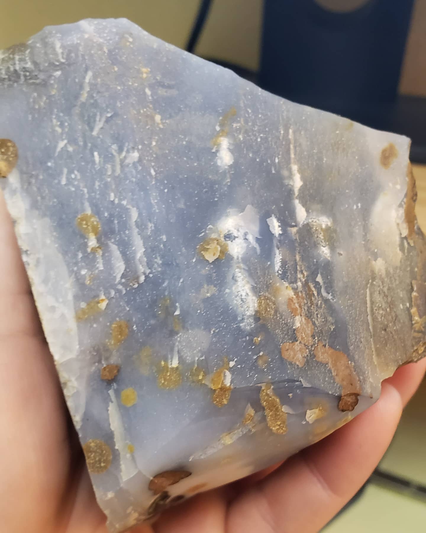
After we had enough of swinging hammers on chisels, we were offered a ride back up the hill in the bucket of a front end loader. Can’t say no to that. Got to the top, cashed out our loot and drove back to Redmond, then from there over the mountain ridge and towards the coast on highway 20. The winds had really picked up in earnest by this point.
As we travel on highway 20 Northwest out of Sisters, OR, the wind is absolutely howling, still felt like a little out of the North, maybe not fully straight from the East yet. But it was definitely moving. A lot of debris and smoke were blowing across the road in front of us.
Highway 20 turns to go straight West after a bit and as I’m on the section of 20 between where 22 splits off to the North and later, 126 splits off to go Southwest towards Springfield/Eugene, I hear a weird alert tone from my phone. Evacuation order for anyone in the Santiam pass region and in particular along highway 22. Anyone in the forest advised to leave immediately.
Well shit, here we go. A lot like how I thought.
We make it down the hill and into the Willamette valley and the air quality is absolutely horrendous. A quick consultation of the data provided by Purple Air showed AQI values ranging from 400 to 600... Not good. At all.
I pick up some Stanadyne fuel additive at an Autozone in Lebanon, OR, go around the airport and get on 34 towards Corvallis. Get diesel at an Arco just off I-5 and 34. Continue on, meet back up with 20 in Corvallis and head towards Newport.
My mom and now also my girlfriend live in Waldport, a little South of Newport. When we arrive before 7 in Waldport, the air quality wasn’t too bad yet, at least not anything like it was in the valley. It was about 63 degrees when we showed up.
Now, let me set the stage for you as far as what temperature norms are on this region of the Oregon coast. Highs of 65 or slightly less are normal for the summer there. A high of 75 is something that happens only a few times a year when offshore winds pick up enough to warm the coast... And that’s about as hot as anyone on the coast EVER sees it in an average year.
An hour after we arrive, the temperature GOES UP 10 DEGREES TO 73... AFTER SUNSET. And the smoke rolls in heavy. Visibility drops rapidly.
Tuesday (Sept. 8th), girlfriend goes to work in Newport and I follow up 101 to take highway 20 back East towards 5 as I had made plans to go to Gresham (Portland, basically) where my main parts guy from Cascade German wanted to have me look at his dad’s car, which I previously did an auto trans to 6 speed swap on a couple years back along with a few other upgrades.
The high on the coast would end up in the low 80s, which is a record for them. And even more astounding is that they were getting to that temperature all while not being able to see the sun due to the thick smoke!
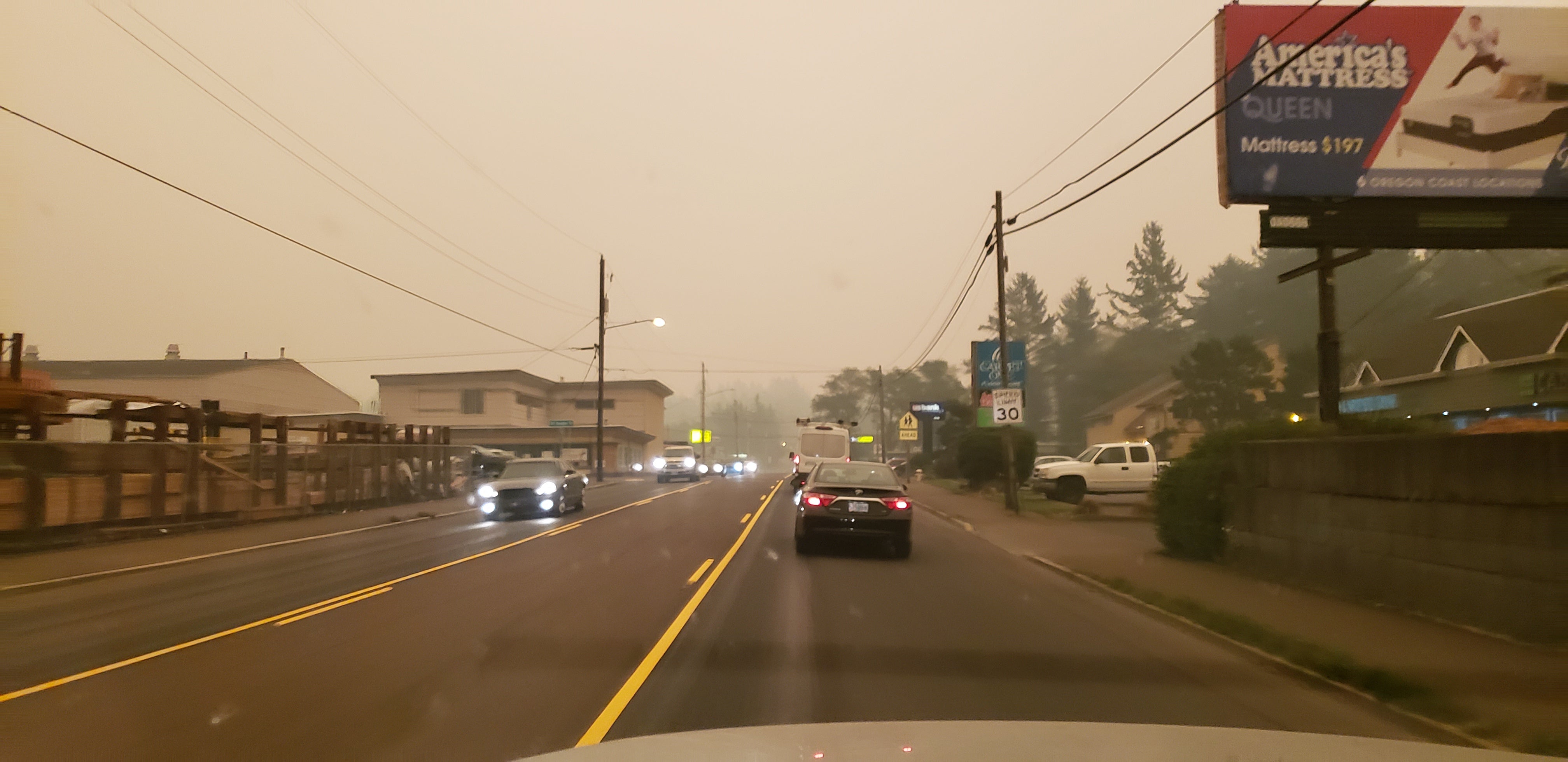
The above was taken at about 8 in the morning near Newport.
It only got worse as I headed East on 20 back towards I-5 to go North towards Portland.
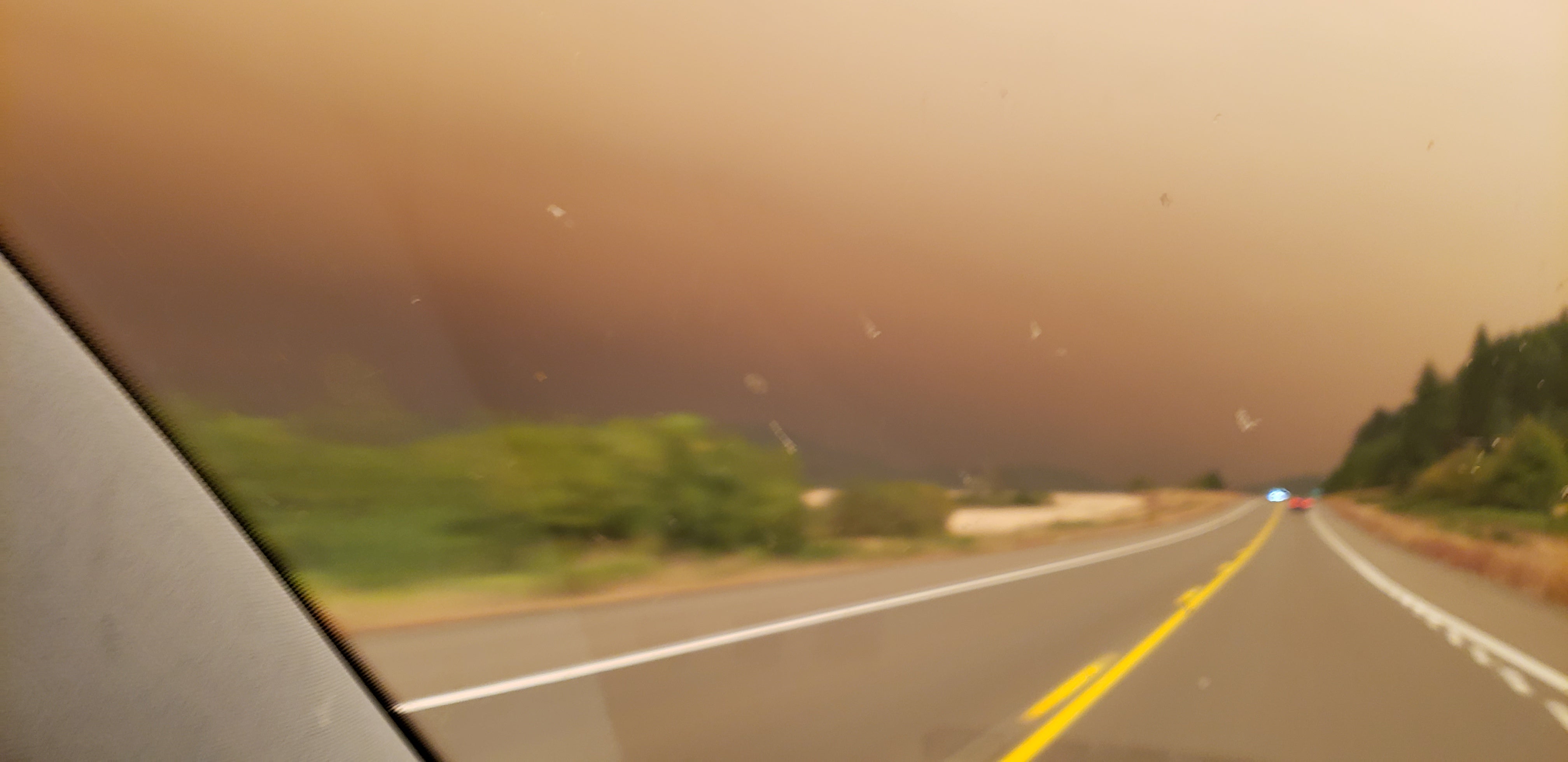
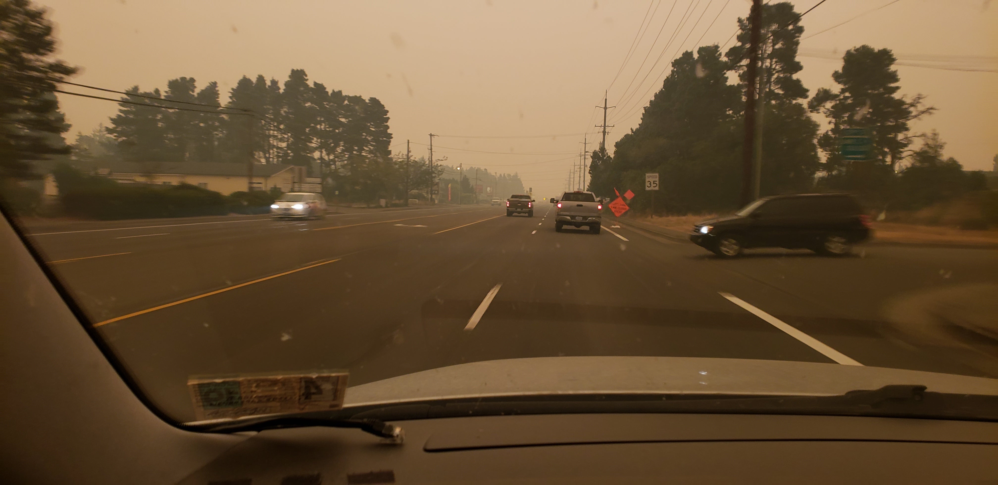
Bit of a potato photo there... that’s what I get for having a dirty windshield and attempting to drive while taking a photo one handed.
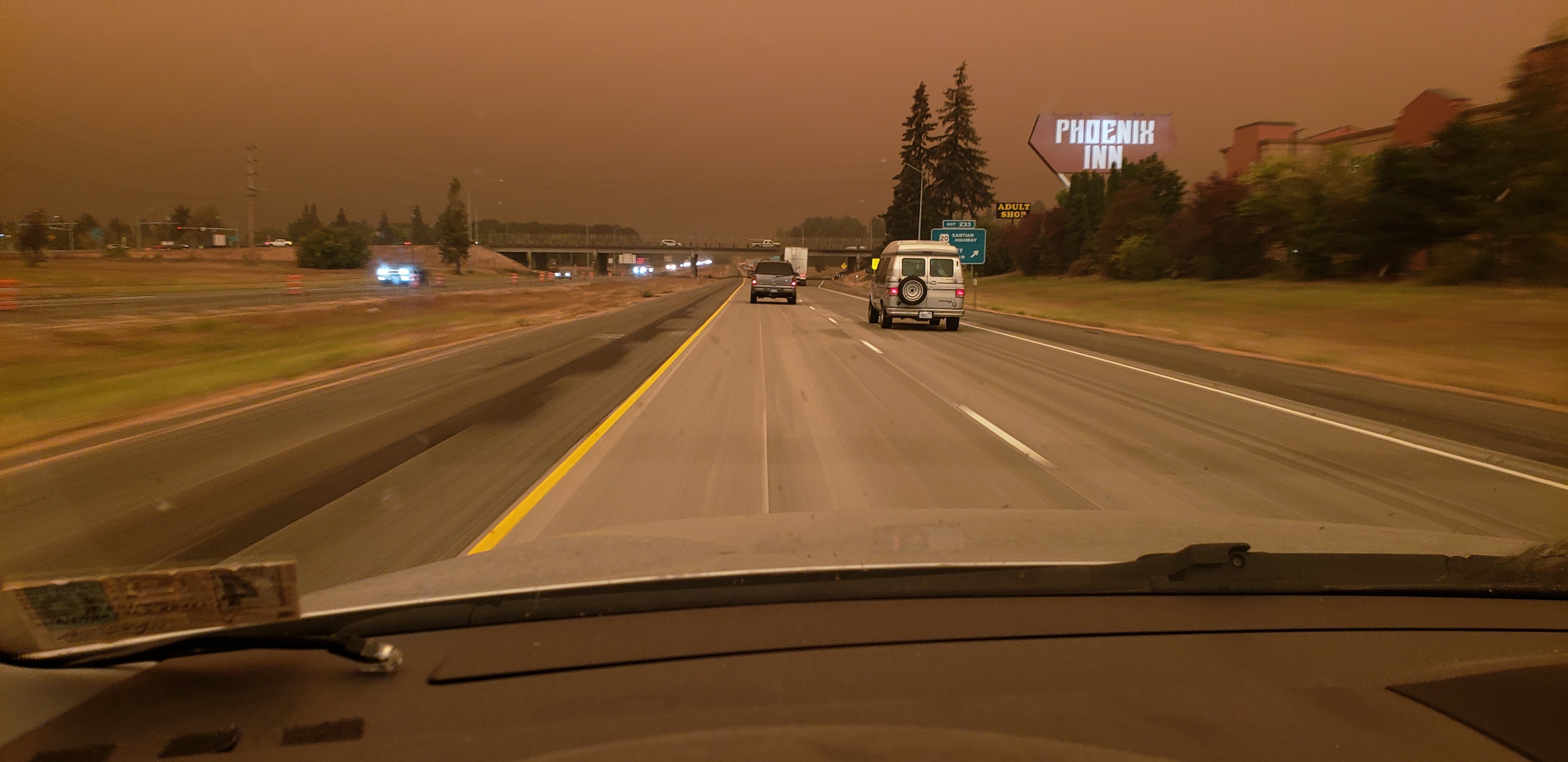
The closer I got to Salem, the darker it got. Until finally it was practically dark as night and I could see my headlights on the pavement... at quarter to 10 in the morning.
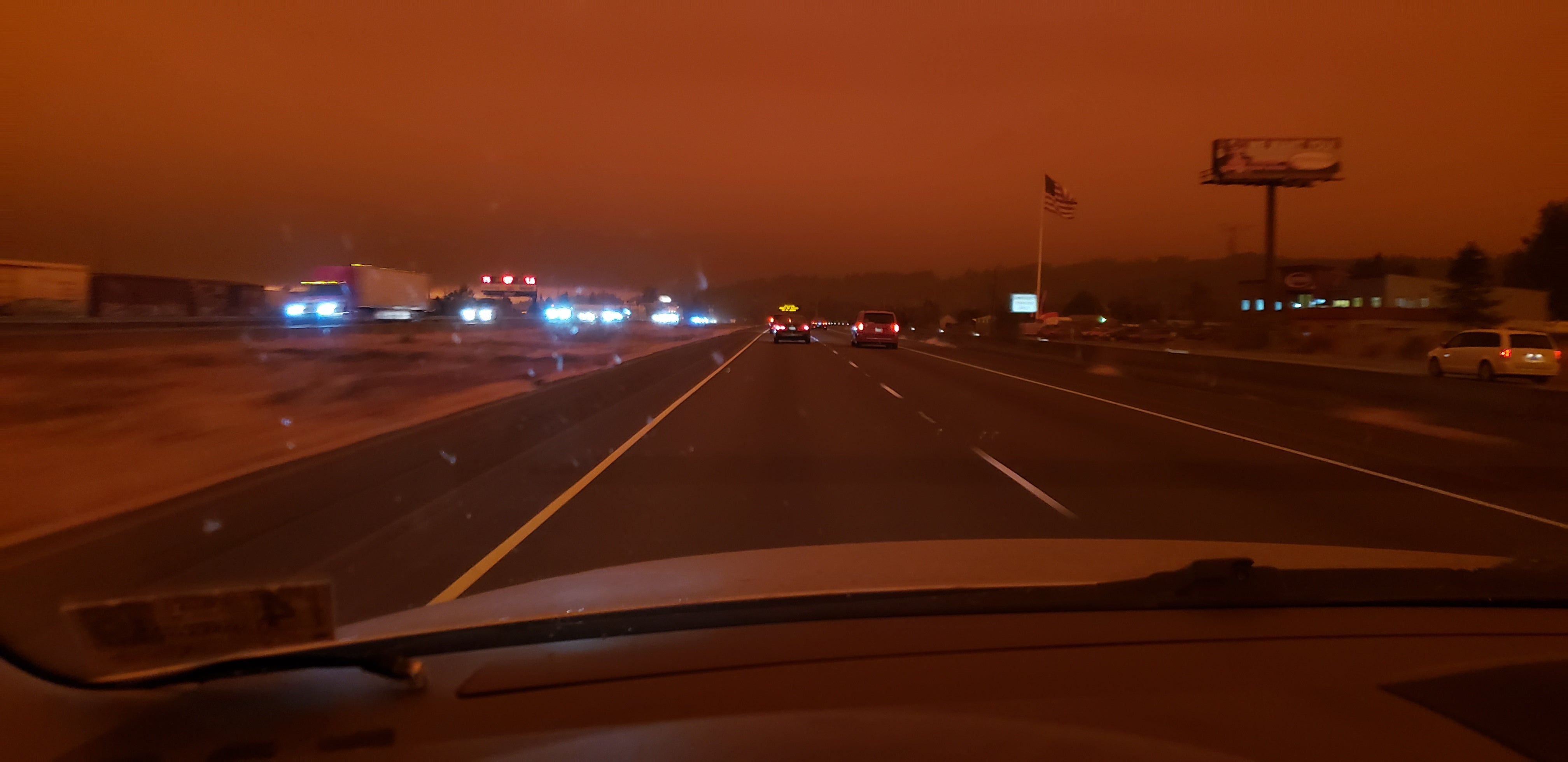
Eventually, even though it was at its darkest point immediately above me, there was a lightening of the smoke at the horizon to the North.
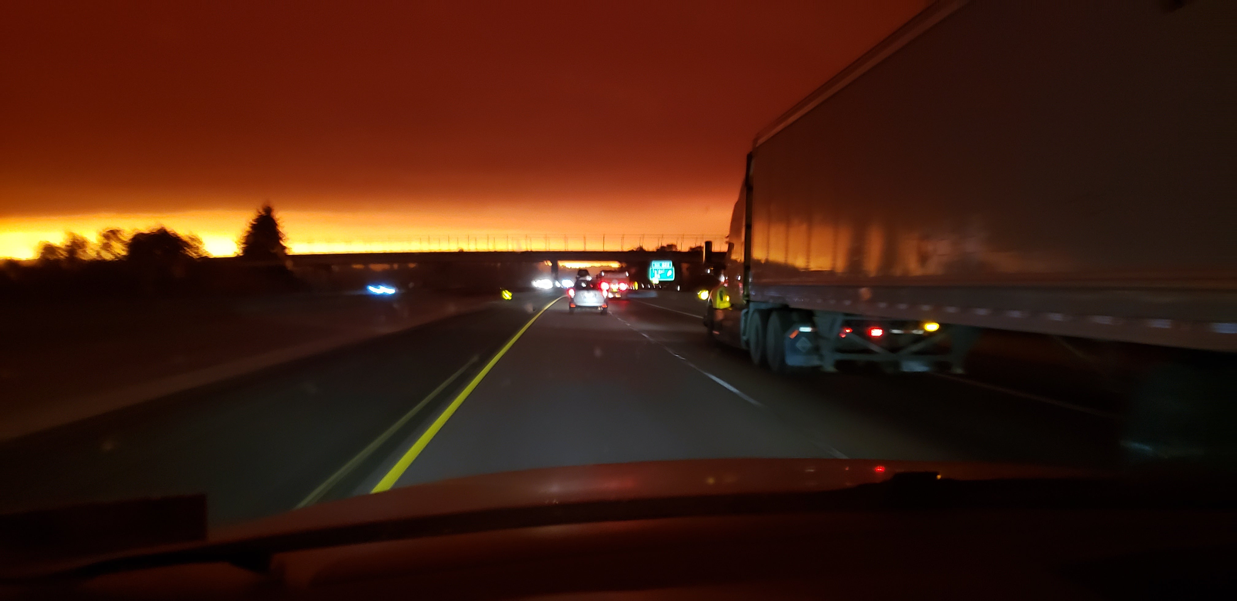
I make it to Gresham a little after 11, take a look at the car and apply a couple tweaks and fixes. I start looking at Google Maps to see what is open and what isn’t. Most of the cross-Cascade routes are closed from fires—20, which I had taken the previous day, though there was no fire directly on the highway, 22 directly East of Salem, 126 East of Springfield and Eugene and 138 East of Roseburg—major fires on each of those highways. Highway 97 just North of Klamath Falls, closed from fire. I-5 from Medford to Ashland, closed for fire. 101 was still open, but there was a fire near Bandon just East of 101... and 101 is closed in California just North of Ukiah because, you guessed it, fire.
Literally every major highway that is feasible for me to use to get back home in California is closed. It was getting late in the afternoon at this point anyway, my parts guy offered to let me stay at his house, but I told him it made more sense for me to go back to the coast with my family. It at least puts me a couple more hours down the road, especially if I was going to end up taking 101 home anyway in the case of I-5 not reopening. Plus, there was a fire reported not far from the house in Waldport and I wanted to be there for family should they need help evacuating. So, that’s what I do.
On the way back home on 205 near Oregon city, I see this fascinating wave pattern on the edges of the smoke clouds in the sky to the South.
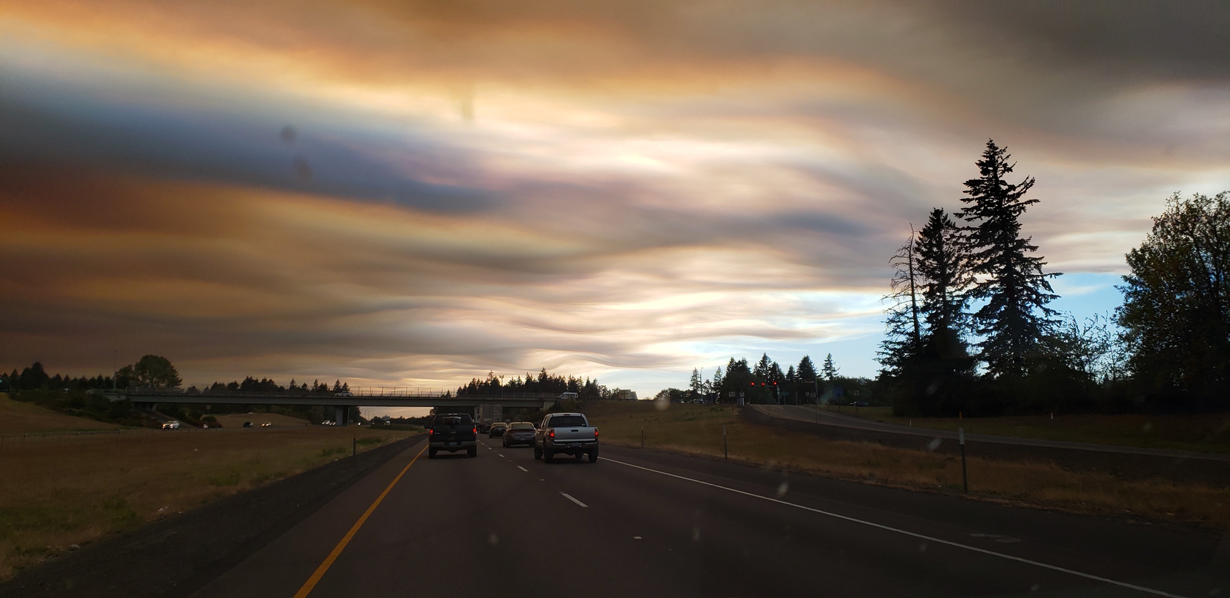
I get on I-5 and head towards Salem again, note the darkness in front of me, but how light it is in the rearview mirror. Stark contrast.
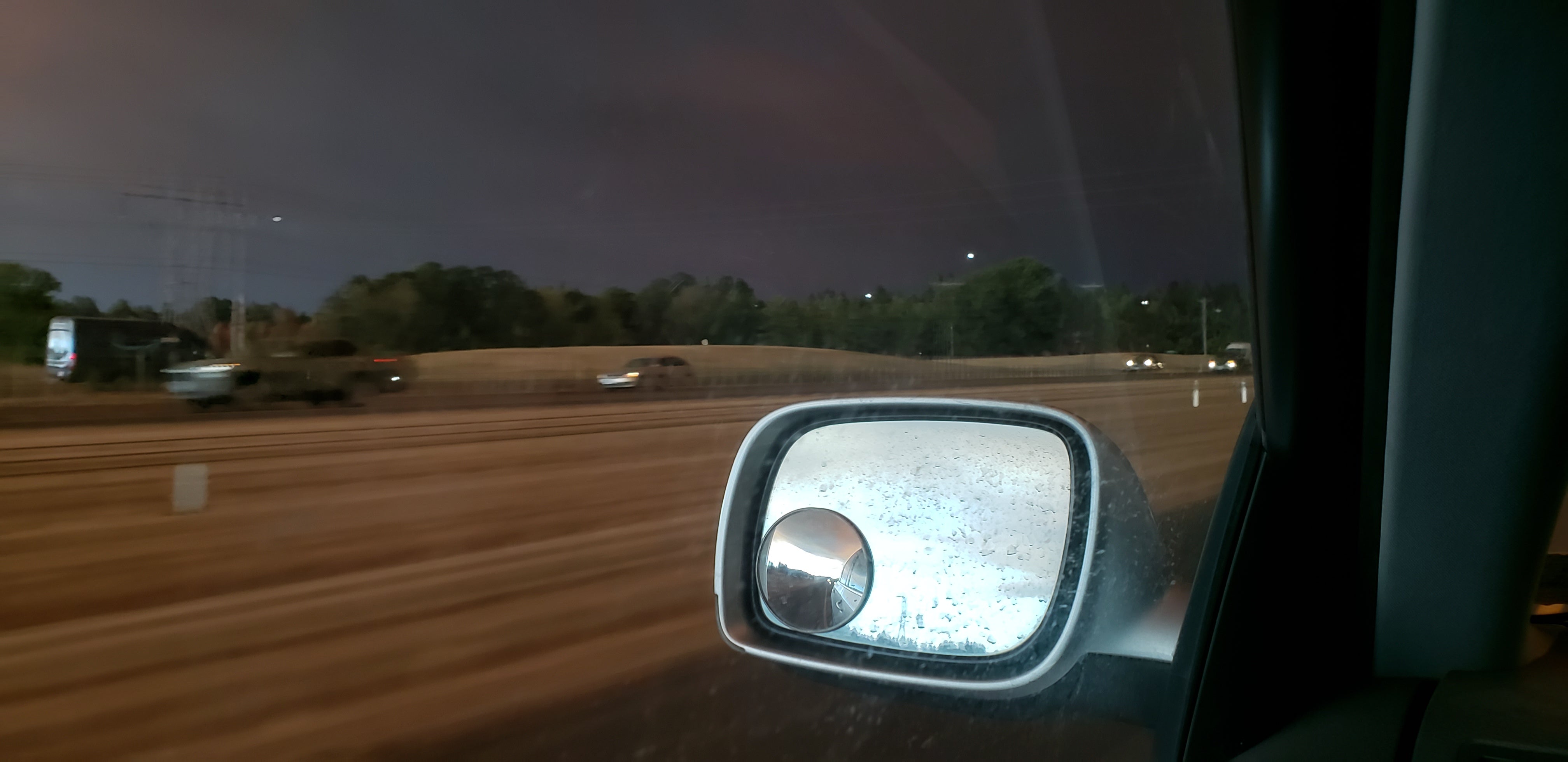
The Touareg was still absolutely filthy from the various forest service roads I was on over the weekend. I stop at a rest stop for a bathroom break and for a look at the eerie orange sky at only 6 o’clock. Nautical sunset that day was a little after 7:30.
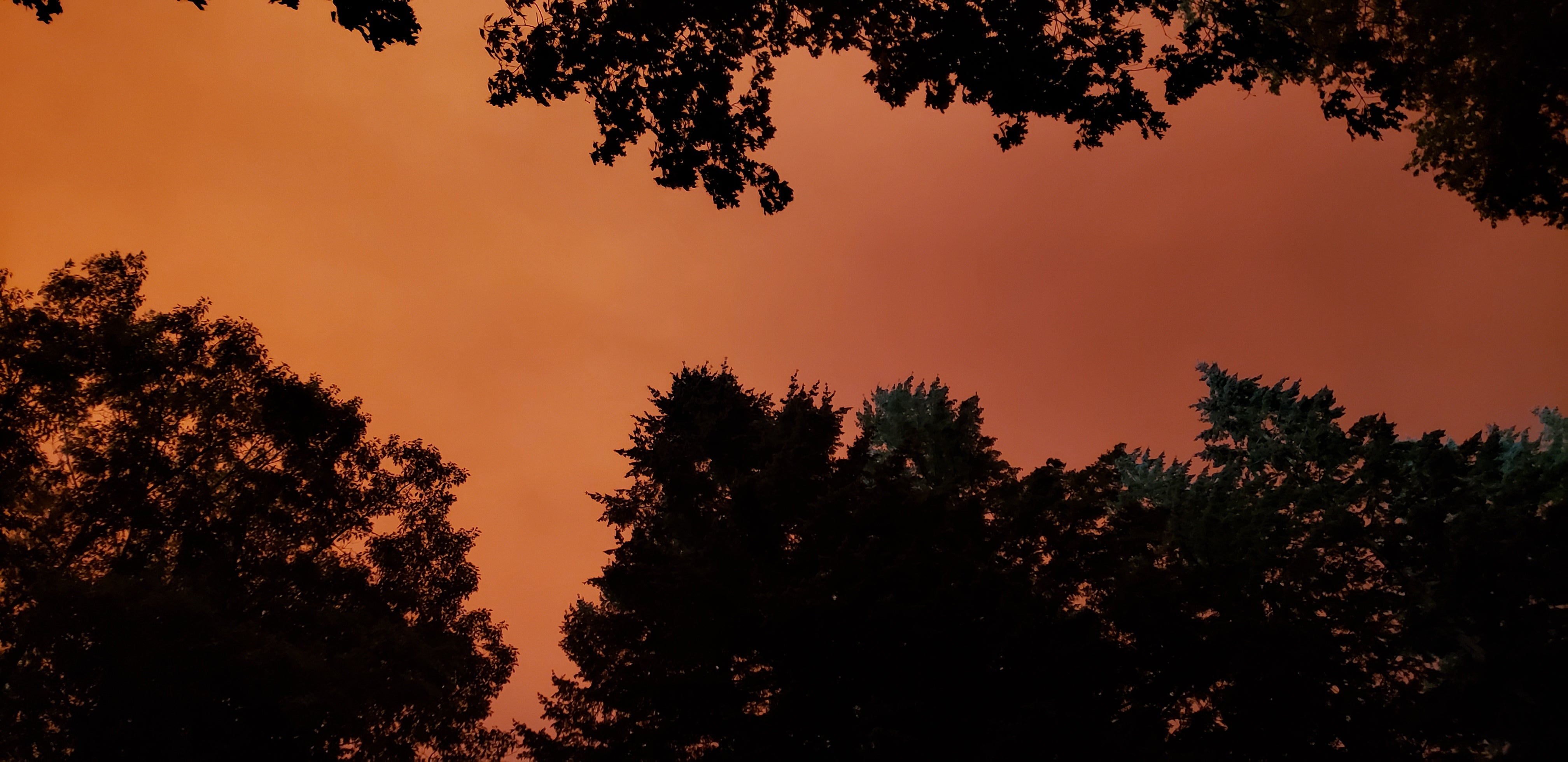
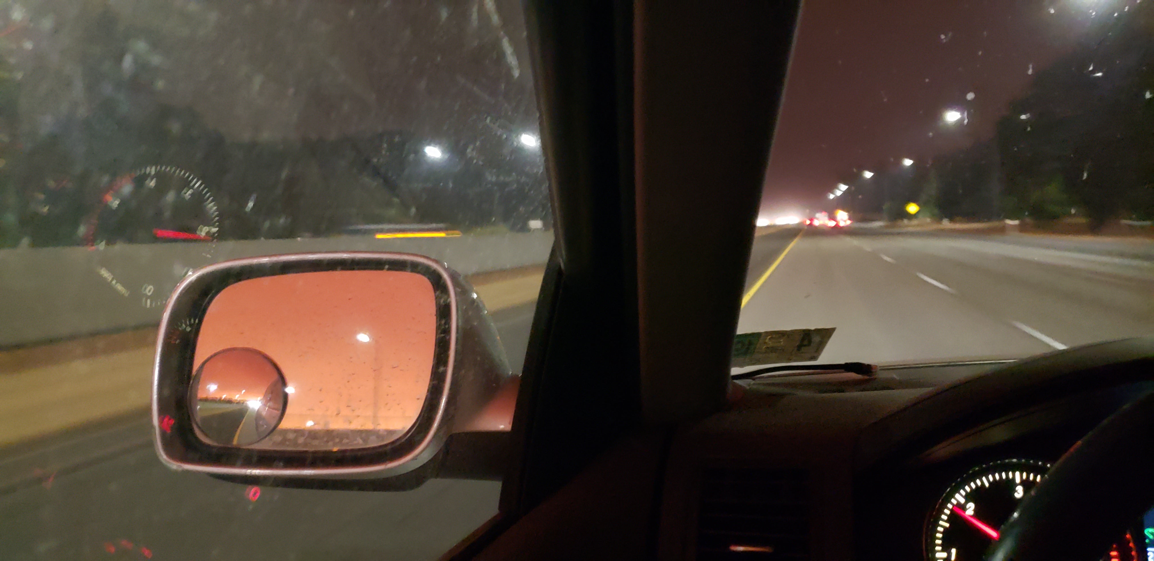
Once again black as night in front of me now, eerie orange glow in the rearview.
As I get further South, things lighten up again, once again using my rearview for the stark contrast. Black as night behind me, somewhat light in front of me.
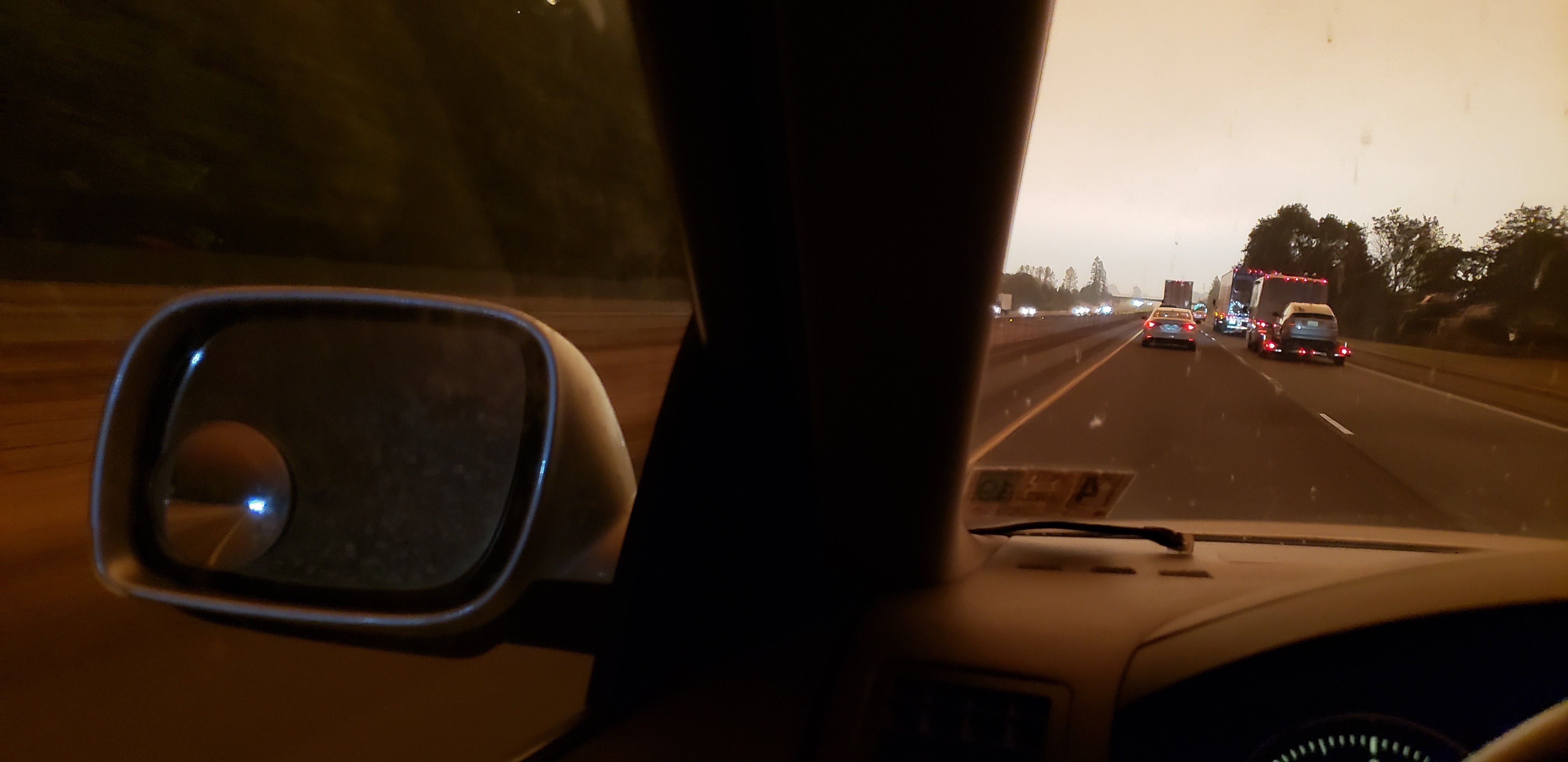
As I got closer to my exit for Corvallis, the smoke was less up high and more on the ground, but it was at least not as dark, I guess...
I spend the night in Waldport. Woke up and checked Google maps, I-5 near Medford looked open again, just slow moving. Time to brave it. That will be the fastest way home.
I also check the NWCG satellite fire detection map (formerly Geomac.gov), as I’ve done a lot in recent years (and the last day at that point due to the fires) to track wildfire progress. I make an alarming discovery in California. There was a fire that had been burning for some time ENE of Lake Oroville. The winds picked up in that region overnight and the fire that was expanding slowly for weeks had suddenly raced downhill and gobbled up MILES of land in a matter of hours. Covering more ground in a few hours than it did in the previous couple weeks combined. My former shop neighbor in Marin County lives up there full time, kind of between the two Southeast legs of Lake Oroville. The map indicated his property was almost certainly runover with fire.
Fuck.
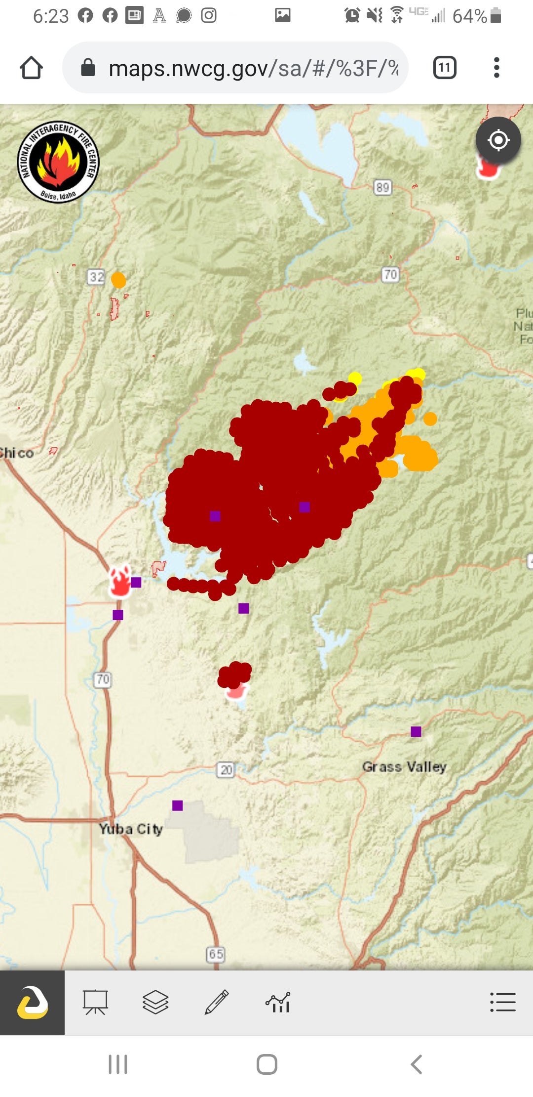
I get to a truck stop just South of Roseburg, look at maps again, I-5 is closed again. Double fuck.
I console myself with lunch at Johnny’s Drive-in and Diner in Winston, OR. Fortunately, “Spark plugs” are back on the menu. Kitschy automotive-themed drive-in with amazing greasy food.
Once done with lunch, I double check maps again, I-5 is reopened, guess I’ll just truck down there and hope for the best.
I give my former shop neighbor a call and check in. He evacuated successfully with animals. Last he heard, house was OK, but some of his neighbors weren’t so lucky. I told him if he needed anything to let me know.
I pass through Medford and Ashland, areas alongside the highway are completely torched, but surprisingly the air quality was decent down there. Everything from about 10 miles North and all the way past Salem, absolute trash AQI.
There were still some firemen tending to some smoldering remnants of the fire that had blown through the area in the past 24 hours.
I glance at a set of driveways just West of I-5, nothing but completely flattened rubble on top of a concrete pad. One pad had a metal roof that survived, but absolutely nothing underneath it did. Just charred rubble. I didn’t take photos.
I get home at a reasonable hour and spend a couple hours pondering what had just happened.
There’s so many more ways I could expand on the mechanics of the weather patterns and my frustrations with the various conspiracy theories that have cropped up surrounding some of the fires, but the story itself was the important part for now.
These fires were not started by arsonists. Have there been opportunistic arsonists who’ve attempted to create more fires after these main fires had already raged and ravaged the region? Yes. But the main fires themselves were categorically not arson. Many were caused by lightning and blown to extremes by a record offshore wind event. Some new fires sprung up during the high wind event for the same reasons the most extreme property damaging fires in California happened in 2017 and 18: downed power lines from high winds sparking fires, and the winds stoking and spreading the fires at record pace.
Whenever California gets such a wind forecast, PG&E now institute what’s known as a “Public Safety Power Shutoff” or PSPS for short. PG&E and California officials recognize the wind-weather patterns that were behind our most damaging fire events and this is their best action to prevent new ones from sparking as these wind events become increasingly common and stronger as far as higher temperatures, lower humidity and, of course, higher wind velocity.
PG&E has gone through bankruptcy for paying out victims of the North Bay fires in 2017 and the fire that ravaged Paradise in 2018. As they emerge from bankruptcy, one of their main tasks is to shore up their infrastructure to make it more resistant to such failures during these increasingly common, strong offshore wind events, that way PSPS will also not be needed as often.
My story is nothing compared to those who were in the direct path of these fires and the first responders tasked with saving life and property. And I find it infuriating that people can make this so politicized and come up with so many ridiculous conspiracy theories that they then attempt to pin on the political group they currently dislike. It’s fucking insane.
 Just Jeepin'
> dieseldub
09/25/2020 at 14:43 |
|
Thanks for writing this up. I can’t imagine what it’s like to deal with all of that, but you’ve definitely given me a bit of an idea.
Imagine what it would have been like 20 years ago to go through this with no smartphones, very little information available online...
In some ways we’ re very fortunate.
 AestheticsInMotion
> dieseldub
09/25/2020 at 14:50 |
|
Thanks for taking the time to write this.
 Mark Tucker
> dieseldub
09/25/2020 at 15:03 |
|
Glad you made it back OK. Sounds like a hell of a trip! My house is in the very southeast corner of Portland, about 15 miles from the closest fire and 10 miles from the evacuation zone , but we spent those few days doom-refreshing the evacuation maps and packing up the car just in case...
And yeah, I’m absolutely disgusted by how people handled the whole thing. The finger-pointing conspiracies, the “looting checkpoints,” all of it. It seems like there is no situation that can’t be made worse by some amped-up yahoos getting mad at the wrong things. Whatever happened to HELPING people during a crisis?
At least it’s raining now, and has been for a couple
days. The air is breathable again, and we’re back to just “normal” 2020 stress levels and not “holy crap the house might burn down.”
 dieseldub
> Mark Tucker
09/25/2020 at 15:39 |
|
It certainly wasn’t a boring trip.
My parts guy in Gresham was on standby for evacuation orders as well, people not far away were issued an evac order. Thankfully the fire was prevented from getting much closer to their neighborhood.
I heard that in one area it wasn’t even a looting checkpoint, it was a militia setting up a checkpoint to catch arsonists, so convinced that most of these fires were actually started by BLM activists or something. It’s insidious the twisted views that are happening in these partisan bubbles that reinforce these worldviews by feeding you more and more similar articles. The constant bombardment of those algorithms sending you related items makes people think these things are actually true.
I do not hold a lot of hope for the future of the country at this rate. And I hate thinking that way, but the evidence has become too great to disregard it.
Wish we’d get some rain down here! Hoping for another visit to Oregon soon with things calmed down some.
 Exage03040 @ opposite-lock.com
> dieseldub
09/25/2020 at 15:45 |
|
The sad fact is that wildfires are getting worse. The devastation particularly on the West Coast of North America. Every year, one or more areas with regards to Alberta, British Columbia, California, Oregon and Washington State battle to keep fire(s) from spreading. Every year one of these states/provinces has something massive, usually enough that people must be evacuated, many loosing their homes and possessions.
We’re not the only place, Australia seems to be getting trending
on the
ferocity
and Europe may also start seeing a rise in places.
 Rust and Dust - Oppositelock Forever
> dieseldub
09/25/2020 at 16:06 |
|
Thanks for the excellent write-up. As a lifelong east coast resident (Maine and Mid-Atlantic), those fire/smoke photos are absolutely surreal.
 Mark Tucker
> dieseldub
09/25/2020 at 16:27 |
|
I heard anecdotally, but can’t confirm, that a group of them heard “BLM” on the radio and didn’t realize it stood for “Bureau of Land Management.” And jumped to conclusions...
 dieseldub
> Mark Tucker
09/25/2020 at 16:37 |
|
That wouldn’t surprise me either...
Kind of funny, probably the same people were also supporting Bundy and his crew in battle against the original BLM, but the acronym has more recently been in the news for, well, the other BLM, so that’s where their mind goes. They’re already amped up to battle the black lives matter crowd as it is from having it repeated to them how ALL of the protests are DESTROYING LIBERAL RUN CITIES, AND THEY’RE JUST LETTING IT HAPPEN.
God damn am I tired of hearing that.
 RallyWrench
> dieseldub
09/25/2020 at 18:28 |
|
Appreciate your writing lately, I haven’t had time to sit and read the last few stories fully but look forward to it.