 "ITA97, now with more Jag @ opposite-lock.com" (ita97)
06/18/2020 at 23:00 • Filed to: None
 2
2
 18
18
 "ITA97, now with more Jag @ opposite-lock.com" (ita97)
06/18/2020 at 23:00 • Filed to: None |  2 2
|  18 18 |
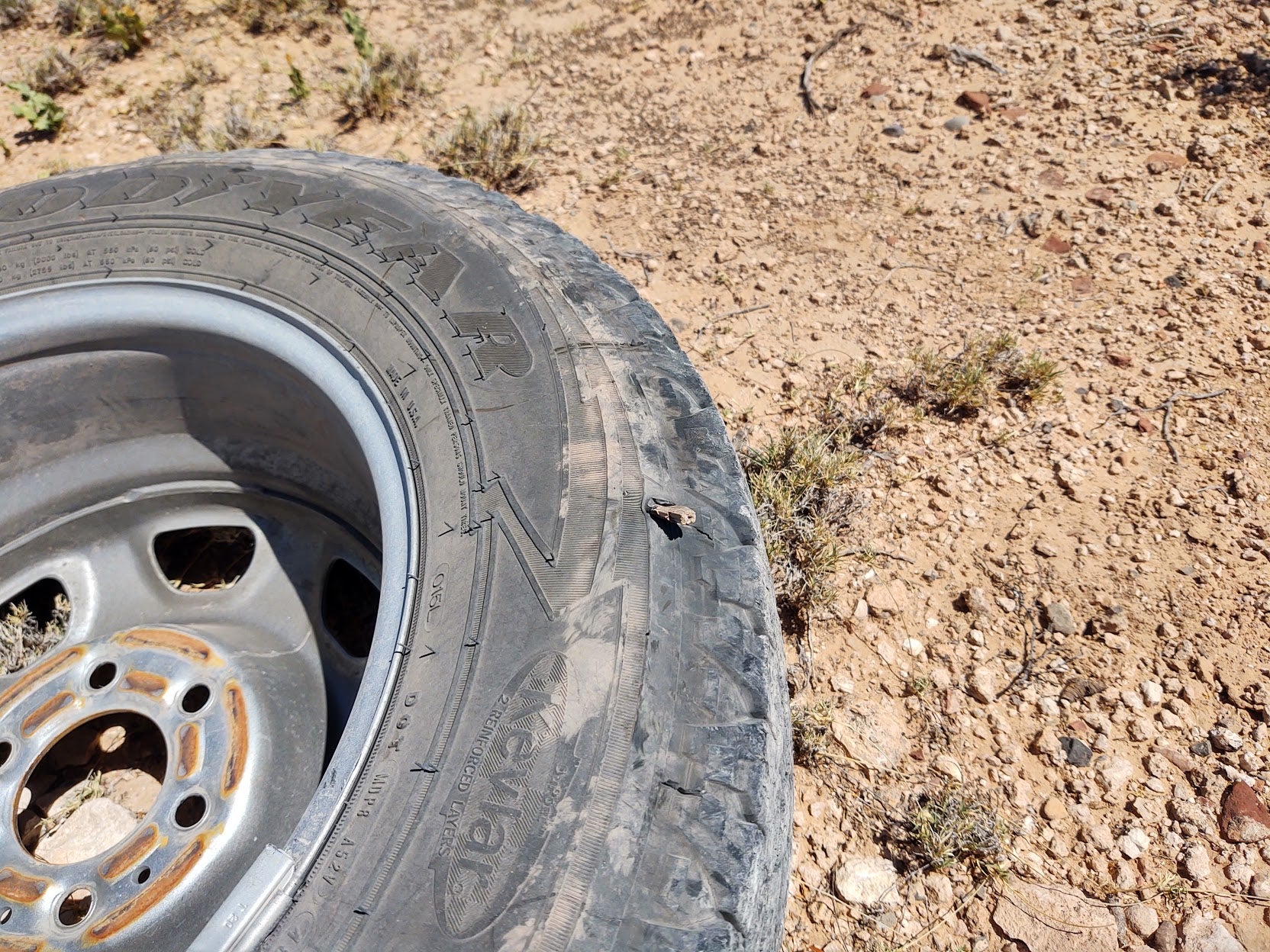
That’s actually a rock shard in the tire of my work truck. Fortunately I bothered to check the air pressure in the spare and flip it a round for easy valve access on my work truck a few month ago, because there are few things more useless than a spare tire without enough pressure and it would’ve been a couple of hours until anyone could’ve gotten to me to help out . After 11,341 miles this tire is used up.
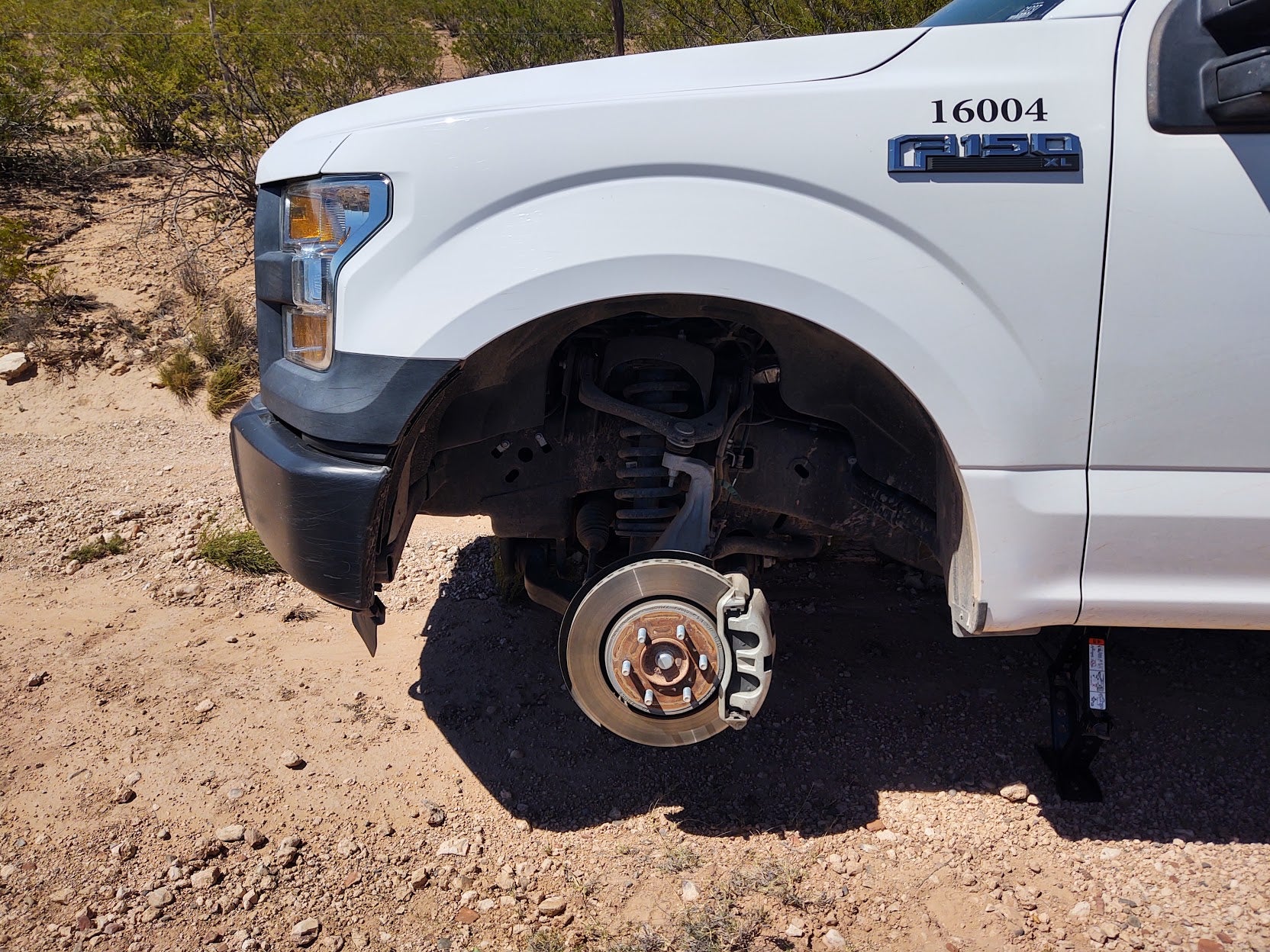
This truck runs 12 ply tires at 60psi. TPMS warning came on at 35 psi, and over the course of a minute or two it dropped to 3 psi by time I got to a nice spot on that trail to change a tire. It was just under 100 degrees, but the scenery was nice for an unplanned tire change.
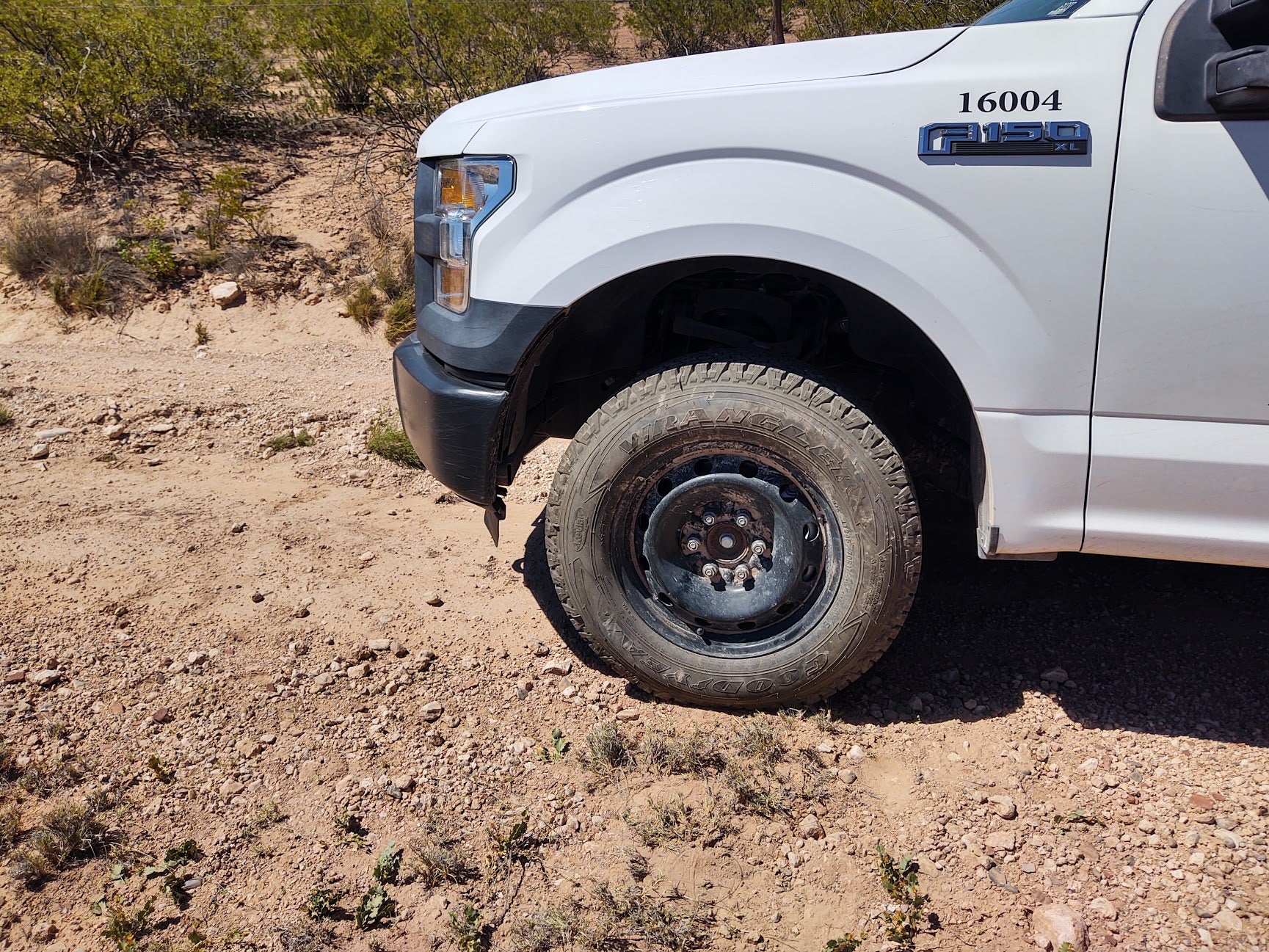
I’m a bit surprised to see that Ford actually buys more than one type of steelie for the F-150. They couldn’t even match the spare with the gray ones.
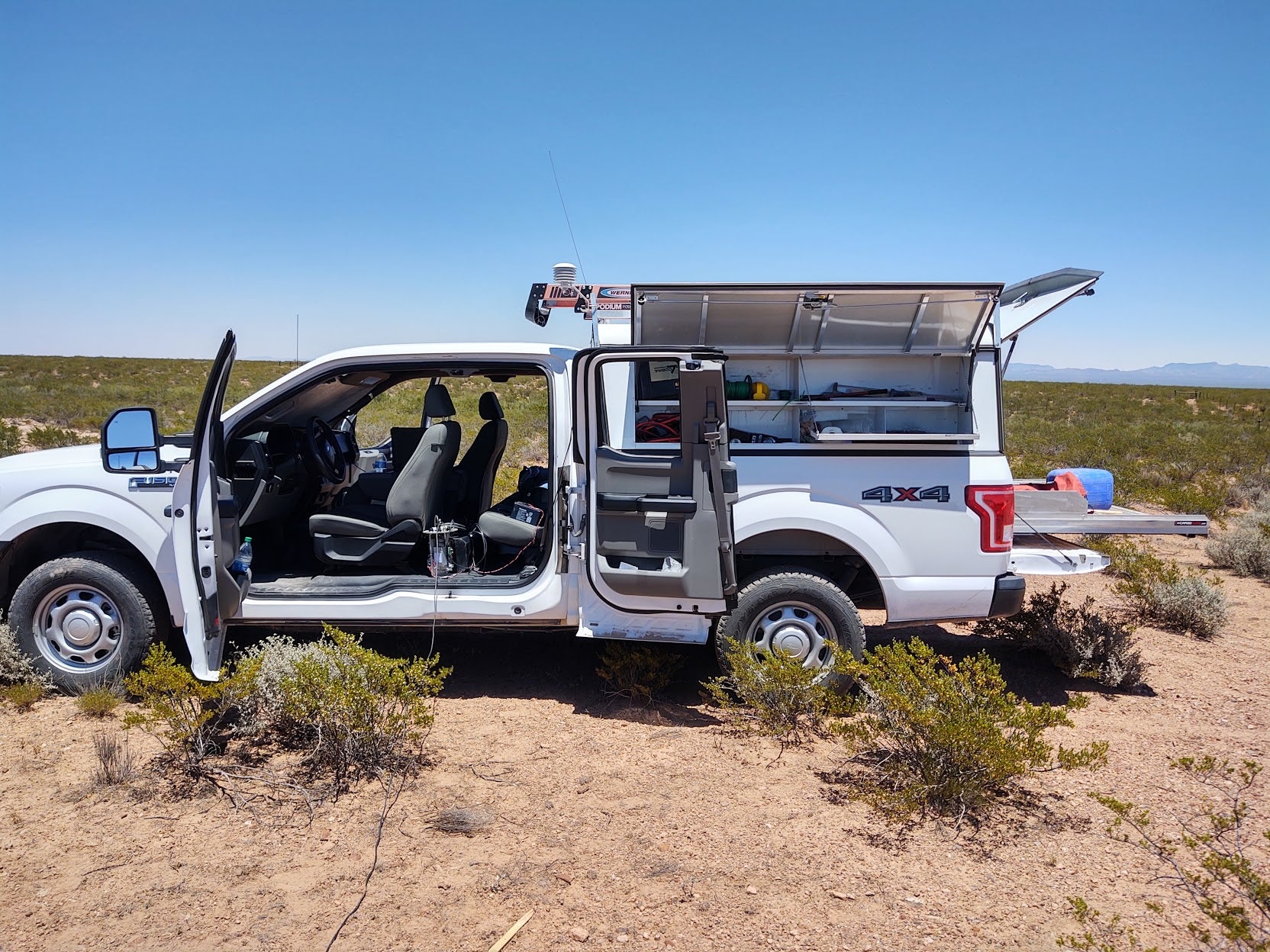
Prior to the flat is was a fantastic, if warm, afternoon out doing a radio survey to confirm the req uisi te radio magic working at the spot I’m going to put a weather station for a federal agency. It should be a good arrangement. They’ll buy the hardware I’ve spec’d for them, I’ll install the site, run the site as part of our flood warning system and maintain it. We get another site and data point, they get real-time access to their data and have it publicly accessible at the same time, and they get a site with way better hardware than they’d usually run and that actually has a long-term future (unlike most of their weather stations) via system support and maintenance by me.
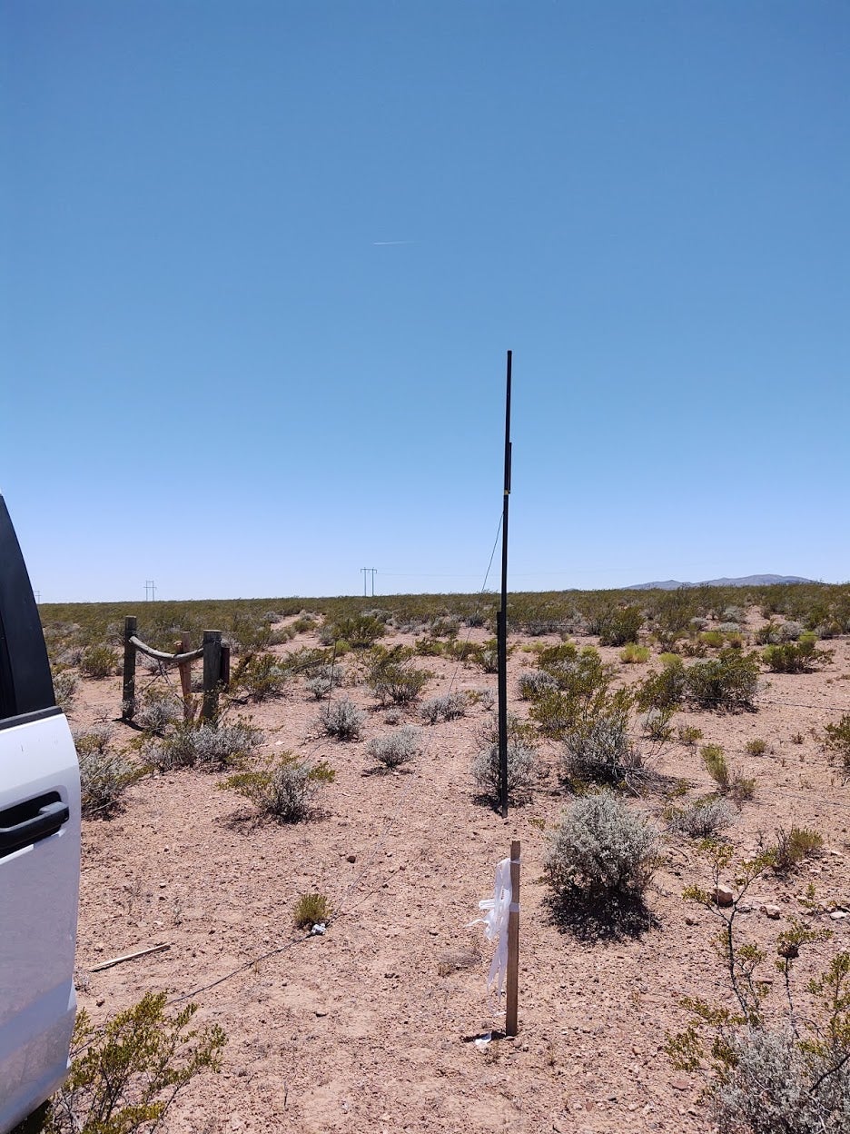
I’m working on putting together another similar deal with the university for some weather stations on their experimental range if they can come up with some money for joining us in the world of big boy, real-time meteorological monitoring with scientific research grade instruments and hardware with a life expectancy of “from now on” in remote field use. Agencies in the area are coming around to realize that they can partner with us (the local flood commission) and leverage the fact that we’ve done the hard and expensive part of building the infrastructure for a large, real-time regional network of weather stations, stream gauges and low-water crossing warning and gates.
!!! UNKNOWN CONTENT TYPE !!!
I continue to be successful spending less than 50% of my work time in my office. Today was also a good reminder of why I’ve come to realize the two most important interview questions I answered for this job were about how one approaches troubleshooting, and how I felt about accessing remote worksites with atv’s and 4x4 trucks. It was also a good reminder of why we carry lots of tools, full-size pioneer gear and always take food, lots of water and appropriate clothing for walking out or an unplanned night of camping in the truck, since the three of us that regularly work in the field routinely spend lots of time in remote places, with or without phone coverage, and almost always alone.
 VincentMalamute-Kim
> ITA97, now with more Jag @ opposite-lock.com
06/18/2020 at 23:15 |
|
On my ride up the Big Thompson River Canyon to Estes Park, there was a weather station with the spinning cup anenometer. Mounted on the side of the bridge was two metal boxes that I was told was a radar based water level meter. These sensors actually use radar for water level nowadays?
A 2013 flood after 17" of rain
rearranged a lot of the roads, bridges, and infrastructure in the canyons up and down the Front Range.
 jminer
> ITA97, now with more Jag @ opposite-lock.com
06/18/2020 at 23:20 |
|
When you do write-ups like this it makes me very jealous of your job. The ability to interact tech while providing a service and being outdoors in remote beautiful places.
 ITA97, now with more Jag @ opposite-lock.com
> VincentMalamute-Kim
06/18/2020 at 23:23 |
|
Yes! We’re actually looking at doing just that on an I-25 bridge at the bottom of this watershed to measure water flow of a really, really large arroyo via l idar. We’re also looking at getting a (larger than our current) drone with a lidar sensor to use for mapping of arroyos. Currently we can do that with a smaller drone and photogrammetry, but that takes a whole lot of computing power and time to process even with workstation class hardware. Being a direct measurement , L idar takes a whole lot less computing power to process.
 ITA97, now with more Jag @ opposite-lock.com
> jminer
06/18/2020 at 23:25 |
|
I am a very, very happy camper in this job.
 AestheticsInMotion
> ITA97, now with more Jag @ opposite-lock.com
06/18/2020 at 23:31 |
|
Life expectancy of “from now on”
I like that.
 ITA97, now with more Jag @ opposite-lock.com
> jminer
06/18/2020 at 23:45 |
|
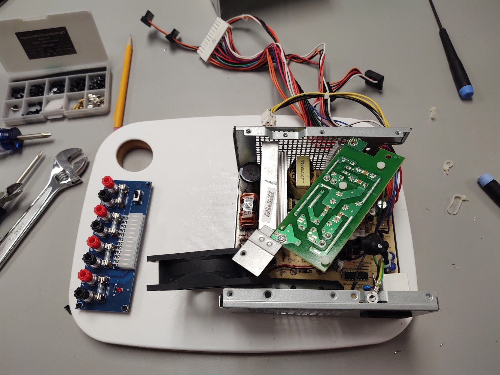
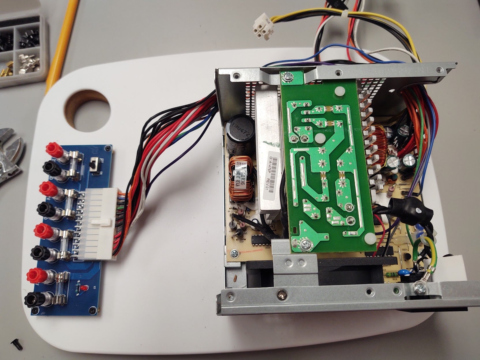
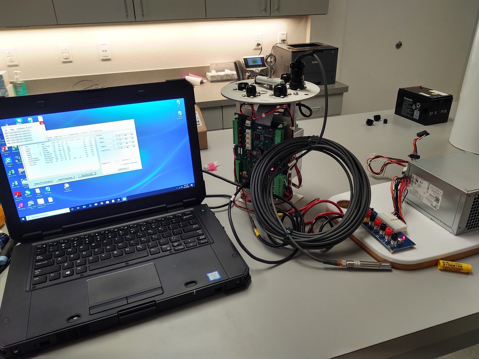
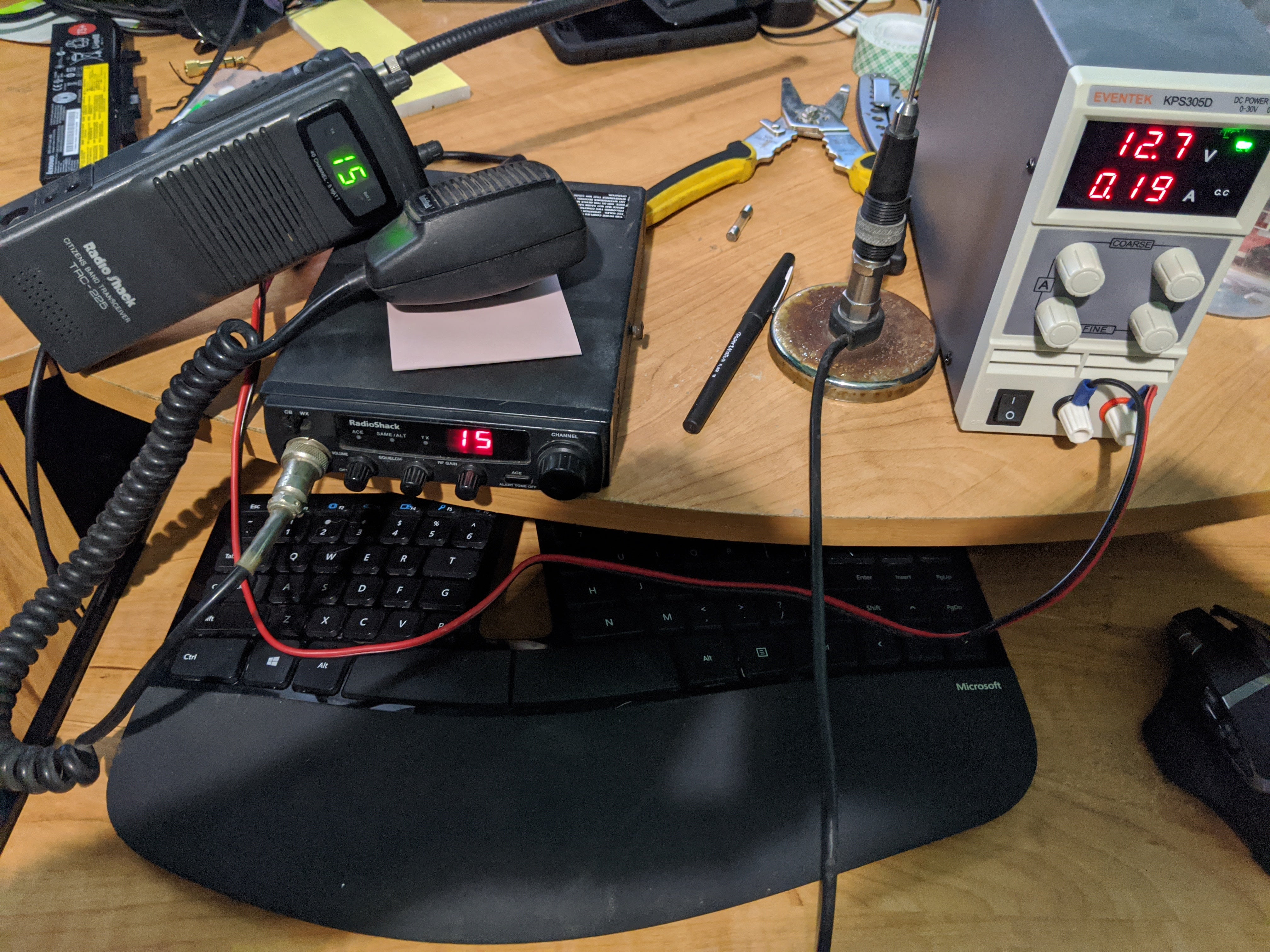
Btw, was it you that posted these $5 power boards from China on Oppo? I ordered one for work and one for home. Coupled with a cutting board, some standoffs and an old Dell PC power supply sourced from the IT dept. parts bin, I put together my test bench power supply for about $10 on Friday. Works fantastic.
 jminer
> ITA97, now with more Jag @ opposite-lock.com
06/18/2020 at 23:52 |
|
Wasn’t me - but that thing is excellent ! I finally broke down and ordered a test bench power supply at the beginning of quarantine though .
Yours is nicely put together - I’ve used computer PSUs for testing for years but usually just jumped the power on it and then pulled the 12 or 5 volts I needed from the appropriate lead.
I actually like my new test bench supply - it cost me $40 and I feel way less likely to electrocute myself when I use it than what I used to do.
 VincentMalamute-Kim
> ITA97, now with more Jag @ opposite-lock.com
06/19/2020 at 00:22 |
|
Why is radar the best way to measure water level? Seems overkill? Ultrasonic sensors? IR? Lidar? Can’t think of other ways other than direct mechanical sensors which could get gunked up, washed away I assume.
Off to google photogrammetry.
In eastern Colorado, t
here was a spate of
sightings
unidentified
flying
groups
of light
last year presumed to be drones. That wasn’t you, was it?
 ITA97, now with more Jag @ opposite-lock.com
> VincentMalamute-Kim
06/19/2020 at 01:38 |
|
It wasn’t me.
It depends on the application, but we’re looking at it to measure water flow in a massive sandy arroyo several hundred yards wide with a bottom that changes every time water flows through it. The problem with something more traditional like stage gauge that measures via float or a pressure transducer is where do you put them in channel that wide that changes. After the next storm the spot where the sensor is may no longer be the deepest part that gets flow in smaller events, and the changing channel would require constant mapping to come up with an accurate baseline for calculating accurate data. There’s also the fact that small changes in depth on an area that wide can indicate massive changes in total flow. Factor in the margins for sensor accuracy, how accurate your most recent map of the channel is for calibration, ect.. and you start talking about a never ending maintenance operation for data that may or may not be accurate enough to be useful on demand.
Lidar shooting a beam across the wide area gives you a direct measurement across the whole thing, even after the channel changes for the next storm flow. That same capability also lets you easily take a measurement after the event to get a new baseline measurement of the channel for the next event. Add in that the hardware can be securely mounted up on a bridge or another safe location that can be some distance from the channel, and it is an appealing (if expensive) option.
And yes, pressure transducers require constant maintenance our generally sandy area to clean the sand out the housing that holds the transducer.
 Full of the sound of the Gran Fury, signifying nothing.
> ITA97, now with more Jag @ opposite-lock.com
06/19/2020 at 04:48 |
|
That would be me, another one from the STL area. I still haven’t used mine yet...
 PartyPooper2012
> ITA97, now with more Jag @ opposite-lock.com
06/19/2020 at 06:38 |
|
WOW!
What I would do to drive on that dirt road. That’s crazy appealing.
Here... concrete jungle. I miss dirt roads...
 TheRealBicycleBuck
> ITA97, now with more Jag @ opposite-lock.com
06/19/2020 at 08:07 |
|
Neat. There are times I really want to spend more time in field operations.
 Rusty Vandura - www.tinyurl.com/keepoppo
> ITA97, now with more Jag @ opposite-lock.com
06/19/2020 at 08:12 |
|
I’d not have looked at any of those pictures and had any thoughts related to a flood of anything but dust.
 ITA97, now with more Jag @ opposite-lock.com
> Full of the sound of the Gran Fury, signifying nothing.
06/19/2020 at 08:45 |
|
Thanks. You were my next guess.
 shop-teacher
> ITA97, now with more Jag @ opposite-lock.com
06/19/2020 at 10:41 |
|
Glad you were prepared!
 ITA97, now with more Jag @ opposite-lock.com
> TheRealBicycleBuck
06/19/2020 at 11:25 |
|
I frequently get to make our civil engineers jealous, along with some of our other folks who are either primarily or exclusively office critters. I like going outside and playing in the dirt with the toys. I keep finding more reasons to more frequently take an atv or utv out with me.
 TheRealBicycleBuck
> ITA97, now with more Jag @ opposite-lock.com
06/19/2020 at 11:30 |
|
Our engineers frequently get out of the office. Unfortunately, most of my field work these days is in response to disasters. I find it’s better when we aren’t looking at things that have been destroyed.
 VincentMalamute-Kim
> ITA97, now with more Jag @ opposite-lock.com
06/19/2020 at 11:47 |
|
Thank you for that explanation. I believe I understand it. Unlike your arroyos, I would have thought the Big Thompson channel is pretty stable, like in the photo of my recent post:
https://oppositelock.kinja.com/rode-up-to-estes-park-co-and-back-the-other-day-1844026397
But regardless of whether the river bed is constantly changing or is stable, the radar allows one to accurately measure flow by determining the river bed and water level. And lidar does pretty much the same thing. That stuff is amazing.
Regarding the last paragraph of your post, my friend was a USGS geologist. In the field, she too was often working alone and in the wilderness. She has terrible mechanical fixit skills though. The USGS issued her a handgun for those trips. For use against people. That was in the 80s.