 "Just Jeepin'" (macintux)
09/13/2018 at 19:43 ē Filed to: None
 0
0
 8
8
 "Just Jeepin'" (macintux)
09/13/2018 at 19:43 ē Filed to: None |  0 0
|  8 8 |
I was a bit disappointed after seeing the subtitle. The title made me think this could be Torchís dream book.
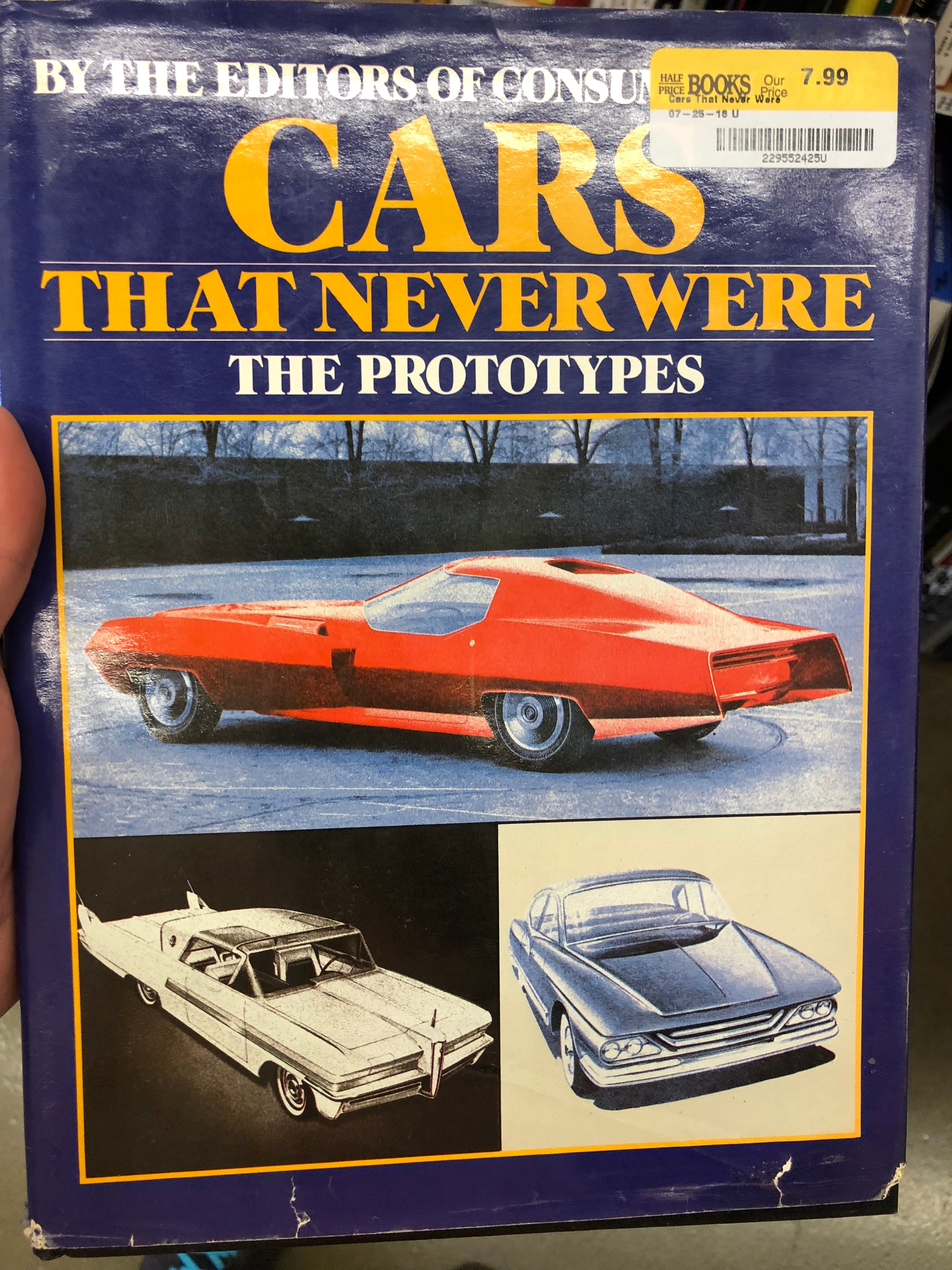
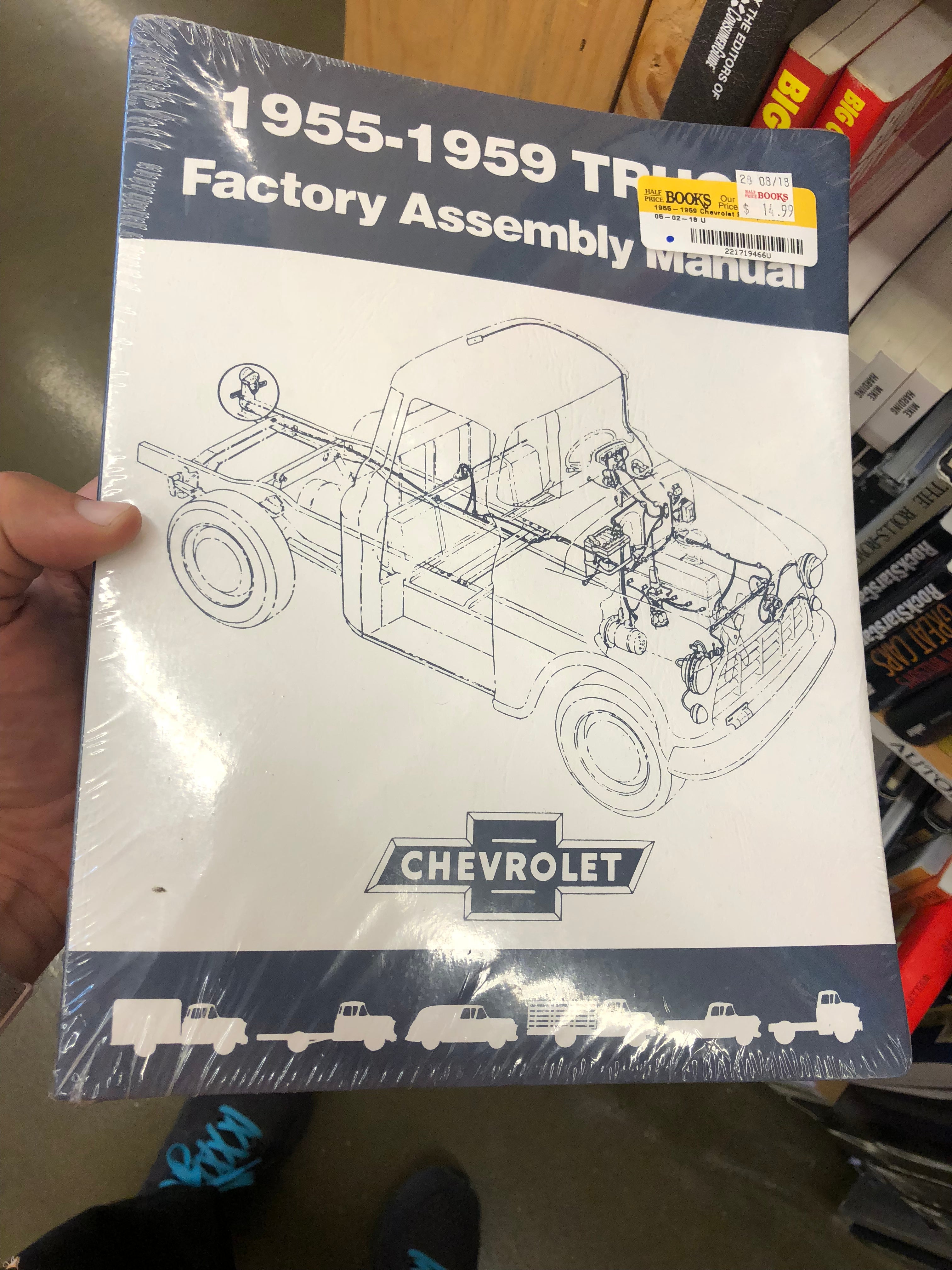
This sorely tempted me despite not caring much one way or the other about Chevy trucks. I figure there are some interesting diagrams etc inside but it was sealed.
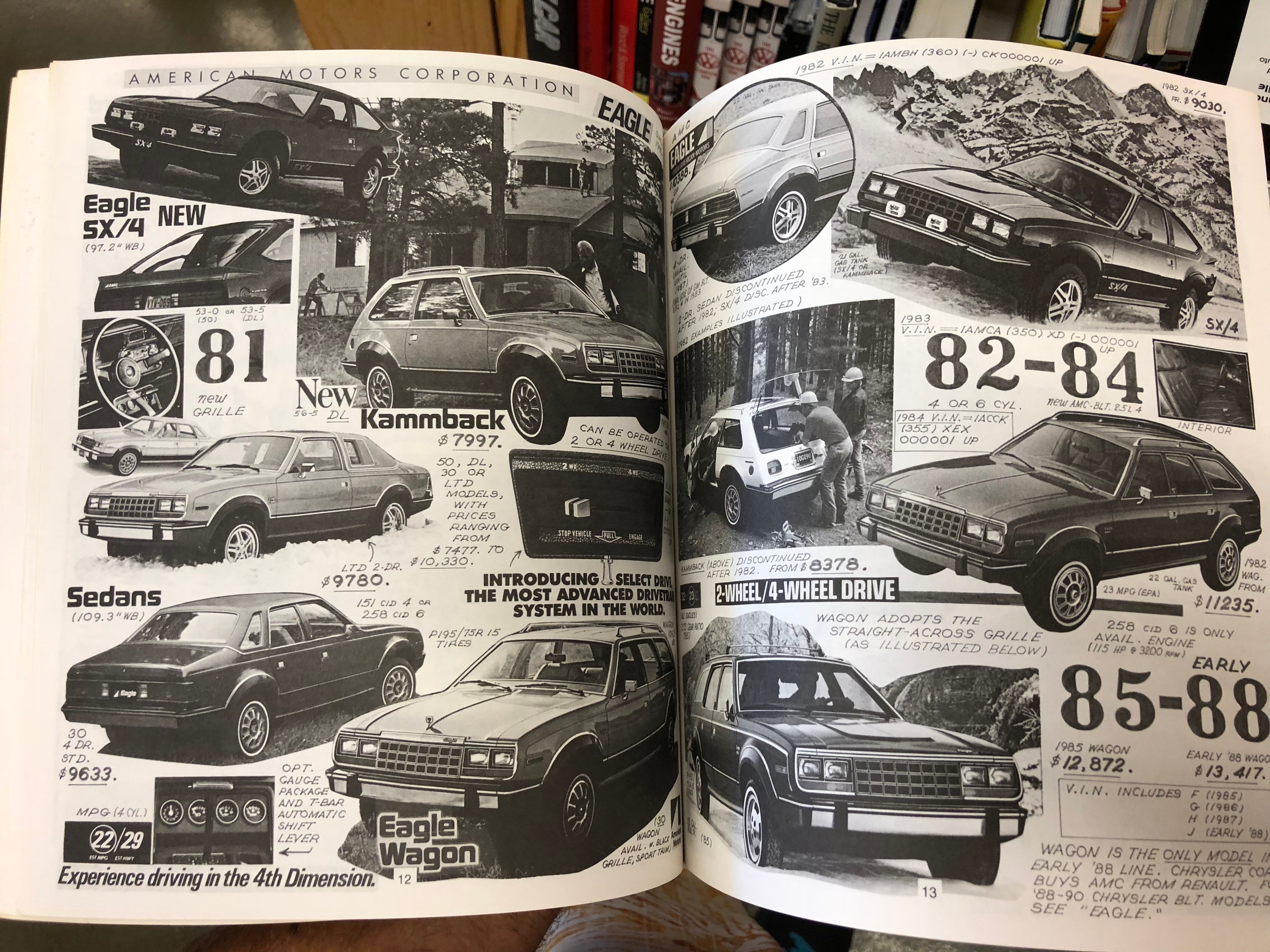
This was a really odd one. Basically a bunch of random materials assembled without an index, just the manufacturers in the table of contents. Jeep wasnít listed, so I picked the AMC Eagle as a sample.

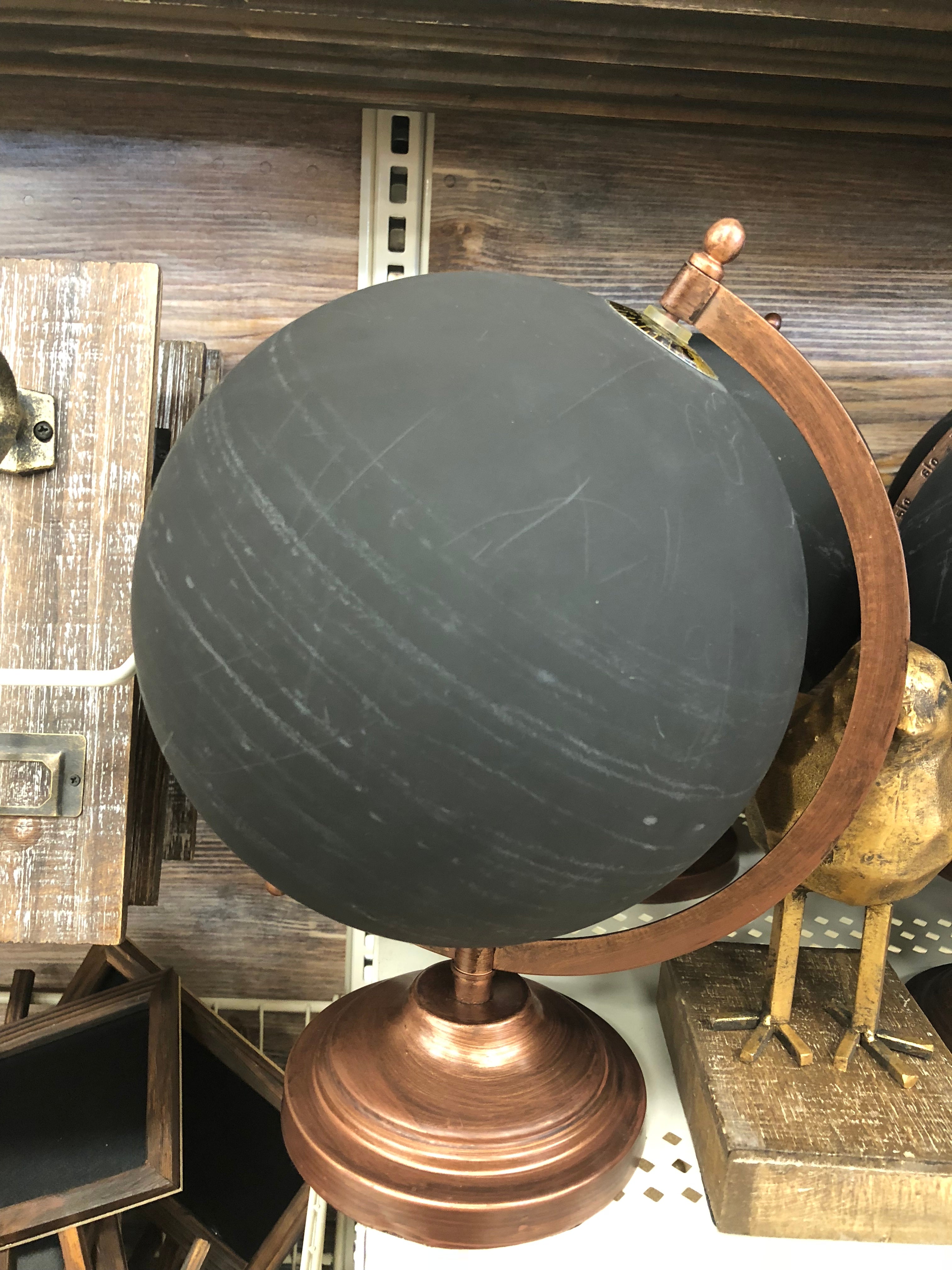
And now for something completely different: anyone ever seen a chalkboard globe? Not quite sure how useful it would be for its intended use case...about which I also donít have a clue.
 wkiernan
> Just Jeepin'
09/13/2018 at 19:56 |
|
Iím loving that chalkboard globe, no classroom where land
surveying is taught should be without one.
 Just Jeepin'
> wkiernan
09/13/2018 at 20:04 |
|
Isnít surveying conducted on a rather more local scale?
 daender
> Just Jeepin'
09/13/2018 at 20:19 |
|
I think the prototypes book would be pretty cool. Iím fascinated by concept and one-off army tanks, some built and some that never left the paper, so itíd be cool to see what past concept car s never left the board!
 Future Heap Owner
> Just Jeepin'
09/13/2018 at 20:30 |
|
The chalkboard globe would be great in a high school geometry †classroom for demonstrating that non-Euclidean geometry is possible (hey look, you can connect three right angles and make a triangle! What madness is this?!).
 Future Heap Owner
> Just Jeepin'
09/13/2018 at 20:30 |
|
Also, what manner of book s tore is this?
 wkiernan
> Just Jeepin'
09/13/2018 at 20:53 |
|
It used to be, but now that everybody is using GPS for ordinary surveying tasks we have to think
about geodetic surveying pretty often
. Even when you configure your GPS to emit State Plane coordinates youíll
still have to deal with scale factors.
I just got through drawing a survey for the Southwest Florida Water Management District and they specified that the survey will be done in State Plane coordinates, and all the coordinate tables show State Plane coordinates, but they insist on showing all the distances on the survey in ground distances, where you take the distance calculated from State Plane coordinates and apply one scale factor to compensate for the difference between the projection and the surface of the ellipsoid, and another scale factor to compensate for the difference between the ellipsoid and the local elevation above or below the ellipsoid.
What a pain in the ass that was, and it does away with t
he whole idea of State Plane coordinates, which was to simplify geodetic calculations
which are pretty difficult, to where
you could act like youíre in some kind of ideal Euclidean space
where the coordinate geometry can be done by any reasonably bright junior high school student. And how do you draw this crap
in a CAD program, which is a model of that Euclidean
space?
Letís take this bril
liant, effort-conserving
simplification, and make it far
more complicated! At le
ast theyíre not making me do any corrections for relativistic effects.
And this is symptomatic of the whole imbecilic trend in modern technology, which is to shove expensive and dazzlingly complicated features, which no one needs, into practical systems which used to be simple and comprehensible, just because some Goddam technologist can . It goes across the board, from the calculations to draw a survey to the technology of getting in and out of your car - which used to involve sticking a $3 metal key in a lock, whereas now you have to involve at least two microprocessors and two radios, and you still canít be sure the damned thing will work right.
 Just Jeepin'
> Future Heap Owner
09/13/2018 at 21:03 |
|
The globe was at Michaels. Books courtesy Half Price.
 Future Heap Owner
> Just Jeepin'
09/13/2018 at 21:04 |
|
Ah nice. I miss half price books.