 "Cebu" (animoo)
12/03/2014 at 16:41 • Filed to: None
 1
1
 21
21
 "Cebu" (animoo)
12/03/2014 at 16:41 • Filed to: None |  1 1
|  21 21 |

I had a bunch of slides (yes, slides) drawn up, but the scanner's messed up so they're worthless. Anyways, here goes:
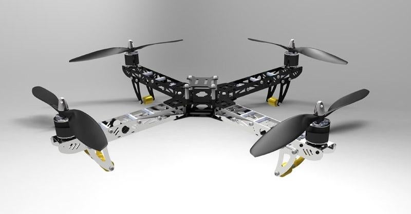
The main obstruction to the FAA allowing commercial drone usage is, if I have my wits about me, preventing inter-drone collisions.
Solution: Regional or national databases with federally-required GPS chips that relay their position back to a national database every second, and retrieve a local map of drone positions. As long as the drone's don't go into the "blue zone" (my term for the area that a drone could be in, because GPS systems are never perfectly accurate and really only give an area) of another drone or go above 500 feet, they're good.

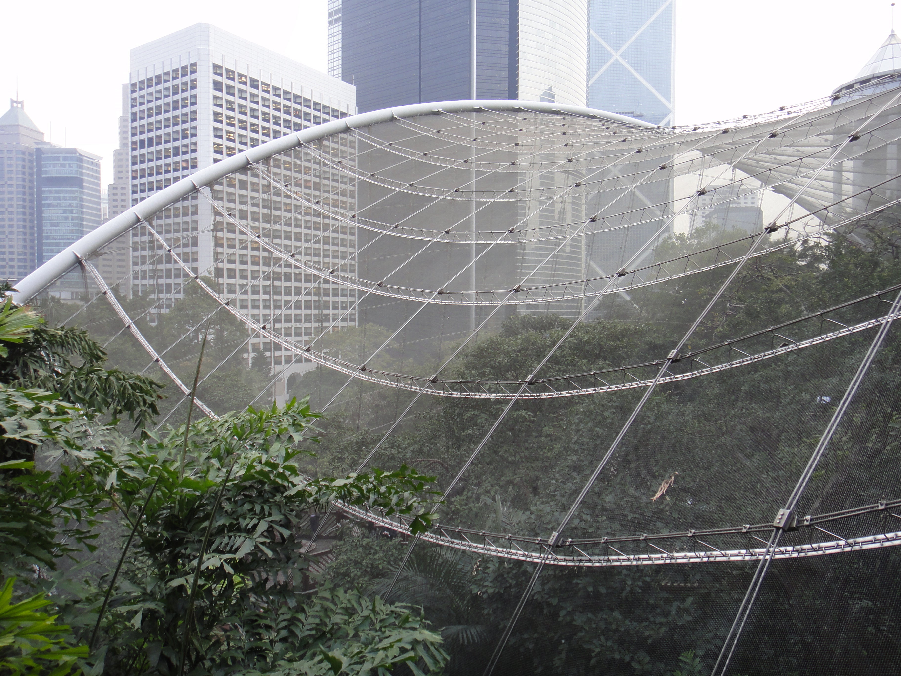
(comedy first image for "aviary" from Google Images used to break up Great Wall O' Text)
Another idea: "Aviaries". Effectively away roosts for both reconnaissance and delivery drones. Use an ANSI-defined standard current through inductive coils to charge drone's battery, without the drone having to RTB (return to base) or make any human contact. Charge current is cut-off by the drone when it determines that the charge level is sufficient so the charger doesn't have to carry a bazillion and one battery profiles.
Another national GPS database would carry the positions of aviaries so the drones (notice I'm making this friendly to autonomous operation) would know roughly where the aviaries are, and a semi-complicated infrared beacon system to guide them in for descent. To encourage proliferation of these aviaries, businesses that host them would receive both a small tax credit and first dibs on available delivery or reconnaissance drones in their "roost".
There's serious potential here. If the FAA keeps dragging their feet, it's all going to go to waste, as will millions of potential dollars in the on-demand patio side frappuccino industry, or more importantly, the billions of potential dollars in farm reconnaissance and epic aerial photography.
 ly2v8-Brian
> Cebu
12/03/2014 at 16:51 |
|
government = crap that doesn't do anything right
 For Sweden
> Cebu
12/03/2014 at 16:52 |
|
The main obstruction is the risk of remotely piloted aircraft crashing into anything; people, buildings, other aircraft etc. This is only made worse by the lack of any kind of licensing for the operators of these aircraft.
 Tinfoil Hat in a thunderstorm, now with added diecast
> Cebu
12/03/2014 at 16:54 |
|
For collision avoidance I think if every drone had a virtual bubble around it that transmits its flightpath so that if it's bubble intersects another drones bubble the two drones work out with each other how to not collide.
 Cajun Ginger
> For Sweden
12/03/2014 at 19:32 |
|
A few years ago they were talking about requiring commercial drone controllers to be IFR rated pilots. Totally seemed like overkill to me.
 Cebu
> For Sweden
12/03/2014 at 19:50 |
|
Yeah, people are going to be assholes and sue when somebody smashes their window. It's only a suing matter is somebody gets kilt or a building gets blow'd up. Smashed windows and blue-on-blue drone incidents are the price of progress.
 Cebu
> Tinfoil Hat in a thunderstorm, now with added diecast
12/03/2014 at 19:51 |
|
...
this is exactly what I was proposing
 Sasquatch
> ly2v8-Brian
12/03/2014 at 20:01 |
|
You think that right up until a drone collides with an aircraft. These things are a true threat to airliners and many near mid air commissions are already being reported by pilots. Until drones are able to adhere to FAA rules and see and avoid other aircraft I for one don't want to see them higher than 100 ft and nowhere near an airport.
 ly2v8-Brian
> Sasquatch
12/03/2014 at 20:05 |
|
well, yeah. I was just pointing out the futility of ranting about government organizations in an over simplified manner.
 For Sweden
> Cebu
12/03/2014 at 20:08 |
|
This is why safety regulators aren't fond of remotely piloted aircraft operators.
 Sasquatch
> ly2v8-Brian
12/03/2014 at 20:09 |
|
I work for them and I still agree with you.
 For Sweden
> Cajun Ginger
12/03/2014 at 20:09 |
|
Why?
 ly2v8-Brian
> Sasquatch
12/03/2014 at 20:13 |
|
My Dad's somewhat high up in the Army, so I observe the train wreck from a far.
 Cajun Ginger
> For Sweden
12/03/2014 at 20:33 |
|
Because the FAA doesn't like drones would be my best guess.
I haven't worked on them for a few years so haven't been keeping up on the rules. Like last I knew they issued a small number of permits to universities and maybe a few police departments.
If UAV pilots aren't real pilots how are things like TFRs dealt with? (Random thought)
 For Sweden
> Cajun Ginger
12/03/2014 at 21:50 |
|
More because the FAA has seen how the US Military flies remotely piloted aircraft and says LOLNOPE
 Cajun Ginger
> For Sweden
12/03/2014 at 21:53 |
|
some of them are VERY quiet and can carry a few kg.
 For Sweden
> Cajun Ginger
12/03/2014 at 22:02 |
|
They also crash a lot.
 Tinfoil Hat in a thunderstorm, now with added diecast
> Cebu
12/03/2014 at 23:54 |
|
Yes, but without need for the data base, each drone is resposable for its own bubble and avoiding bubble overlap. Life is like an Amazon drone, you never know what your going to get until you shoot one down.
 Cebu
> Tinfoil Hat in a thunderstorm, now with added diecast
12/04/2014 at 13:48 |
|
... so how would this "virtual bubble" work?
 Tinfoil Hat in a thunderstorm, now with added diecast
> Cebu
12/04/2014 at 17:02 |
|
The 'bubble' could simply be a radio transmission that identifies the details of its immediate position and its intended route, speed, altitude etc that when it detects a transmission from another drone the two could compare each other's flightpath and decide on a course that ensures a collision will not occur. It may be that the drones decide who is the master in each situation to avoid the hallway shuffle that us humans do when we encounter another human. This could allow the drones to fly in close proximity to each other like birds and bats as each drones 'bubble' would be a buffer zone. If a central database was used it would need a super computer and a huge network of repeter stations to keep up with all the flights but if each drone is responsible for its self none of that is required.
 Cebu
> Tinfoil Hat in a thunderstorm, now with added diecast
12/04/2014 at 18:58 |
|
...Immediate position still requires GPS. With the solution I had proposed, all you'd need is GPS and an Internet connection. Granted, I developed this solution for delivery drones in urban areas where there's at least 3G cell service everywhere, so your solution would probably work better in the sticks, which is where the immediate market is.
 Tinfoil Hat in a thunderstorm, now with added diecast
> Cebu
12/04/2014 at 19:12 |
|
I live in the sticks so that probably makes me think of it differently, I hadn't thought of using the 3/4g network as it's very patchy where I am so wouldn't be suitable, but that's ideal for urban areas. It will be interesting to see what happens, probably elements of both ideas and many others plus tech that is yet to be invented.